


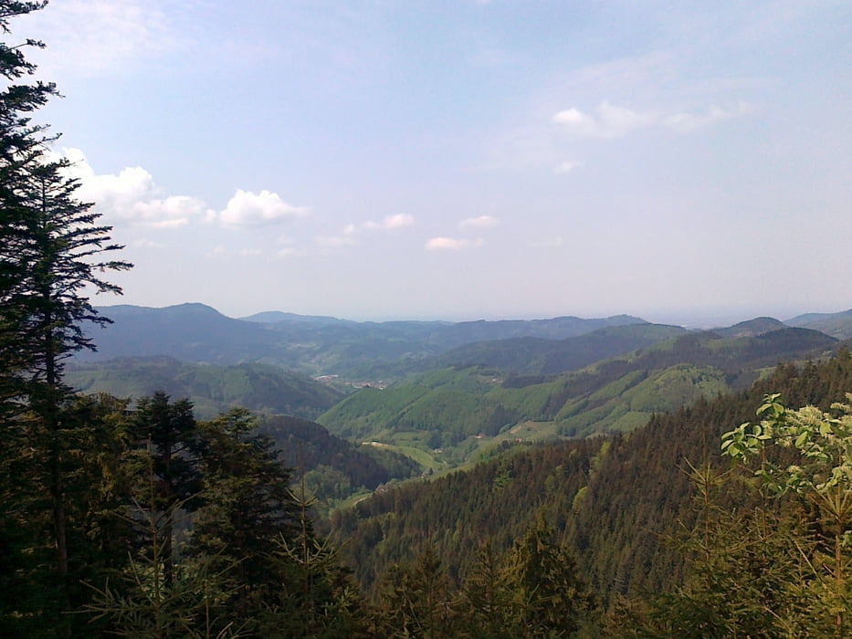
Um möglichst schnell nach Oberkirch zu kommen, und dennoch wenig Fahrstraßen zu nutzen, sind wir über den Ruhestein, Parkplatz St. Ursula auf den Sohlberg geradelt. Bis zur Vesperstube "Fiesemichel" sind es nur wenige Kilometer. Hinter der Vesperstube geht es leicht bergauf und wieder bergab zum Schwalbenstein, von dem man eine schöne Aussicht auf Oberkirch geniessen kann. Bis zur Burgwirtschaft bei der Schauenburg ist es nur eine kurze Strecke und hier kann man auch bestens einkehren. Danach ging es wieder zurück über Oberkirch, den Renchtalweg nach Oppenau und Bad Antogast wieder auf die Zuflucht und Baiersbronn.
Galerie du tour


Carte du tour et altitude
Minimum height 201 m
Maximum height 962 m
More about the tour author
|
|
SiegfriedTheurer |
Commentaires

Tracks GPS
Trackpoints-
GPX / Garmin Map Source (gpx) download
-
TCX / Garmin Training Center® (tcx) download
-
CRS / Garmin Training Center® (crs) download
-
Google Earth (kml) download
-
G7ToWin (g7t) download
-
TTQV (trk) download
-
Overlay (ovl) download
-
Fugawi (txt) download
-
Kompass (DAV) Track (tk) download
-
Feuille de tours (pdf) download
-
Original file of the author (gpx) download
More about the tour author
|
|
SiegfriedTheurer |
Add to my favorites
Remove from my favorites
Edit tags
Open track
My score
Rate