


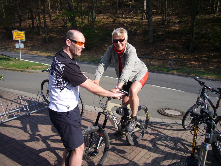
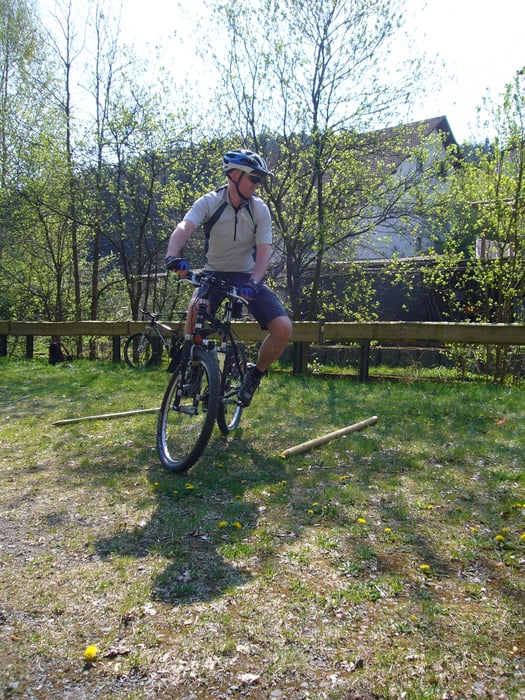
Mountainbike-Seminar "Fahrtechnik on Tour" des Deutschen Alpenvereins, Bezirksgruppe Kreis Böblingen vom 22.-25.04.2011.
Viele weitere tolle Bike- und Bergtouren gibt's unter www.alpenverein-bb.de. Kontakt: joachim.vogel@alpenverein-bb.de
Vier Tage von einem Standortquartier nahe Hochspeyer aus kreuz und quer durch den "Mountainbike-Park Pfälzer Wald".
Diese Tour eignet sich besonders für den Anreise- bzw. Abreisetag. Lustiger Wechsel zwischen Wegen und schönen, flowigen Trails. Die Anstiege sind moderat, im Waldhaus Schwarzsohl oder in Hochspeyer kann man am Wochenende prima einkehren.
BIKER, nehmt Rücksicht auf Wanderer und andere Naturnutzer. Befolgt die Trailrules!
Further information at
https://www.alpenverein-bb.deGalerie du tour


Carte du tour et altitude
Minimum height 249 m
Maximum height 484 m
More about the tour author

|
Hogan |
Commentaires

Über die A61 nach Edenkoben / Maikammer und durchs Elmsteiner Tal nach Waldleiningen. Oder über die Autobahnvariante A6 nach Hochspeyer.
Tracks GPS
Trackpoints-
GPX / Garmin Map Source (gpx) download
-
TCX / Garmin Training Center® (tcx) download
-
CRS / Garmin Training Center® (crs) download
-
Google Earth (kml) download
-
G7ToWin (g7t) download
-
TTQV (trk) download
-
Overlay (ovl) download
-
Fugawi (txt) download
-
Kompass (DAV) Track (tk) download
-
Feuille de tours (pdf) download
-
Original file of the author (gpx) download
More about the tour author
|
|
Hogan |
Add to my favorites
Remove from my favorites
Edit tags
Open track
My score
Rate