
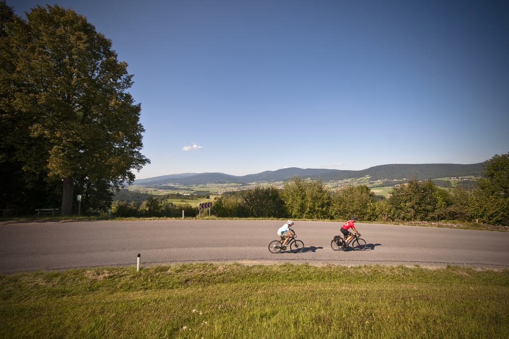

Man hätte keinen besseren Namen für diese Tour wählen können, denn sie verbindet einige der schönsten Aussichtsberge der Region. Die Tour eignet sich vor allem für ausdauernde Radfahrer.
Ausgangspunkt dieser Tour ist beim Stift Schlägl.
Weg Nr. 807
Fordern Sie unsere Radkarte um EUR 3,00 hier an: info@boehmerwald.at!
Oder rufen Sie uns einfach an: Infotelefon +43 5 7890 100.
NEU: Elektrobikes im Verleih von Mai bis Oktober!
Further information at
http://www.boehmerwald.atCarte du tour et altitude
Minimum height 490 m
Maximum height 831 m
More about the tour author
|
|
aigen-schlaegl |
Commentaires

Mit dem Auto
ab Linz: B127 bis Rohrbach - Öpping - Schlägl
ab Passau: Grenzübergang Breitenberg - Klaffer - Ulrichsberg - Aigen im Mühlkreis - Schlägl
ab Tschechien: Grenzübergang Zadni Zvonkova/Schöneben - Ulrichsberg - Aigen im Mühlkreis - Schlägl
Mit der Bahn ab Linz-Mühlkreisbahnhof bis Bhf Aigen-Schlägl http://www.oebb.at
Mit dem Bus http://www.oebb.at
Tracks GPS
Trackpoints-
GPX / Garmin Map Source (gpx) download
-
TCX / Garmin Training Center® (tcx) download
-
CRS / Garmin Training Center® (crs) download
-
Google Earth (kml) download
-
G7ToWin (g7t) download
-
TTQV (trk) download
-
Overlay (ovl) download
-
Fugawi (txt) download
-
Kompass (DAV) Track (tk) download
-
Feuille de tours (pdf) download
-
Original file of the author (gpx) download
More about the tour author
|
|
aigen-schlaegl |
Add to my favorites
Remove from my favorites
Edit tags
Open track
My score
Rate