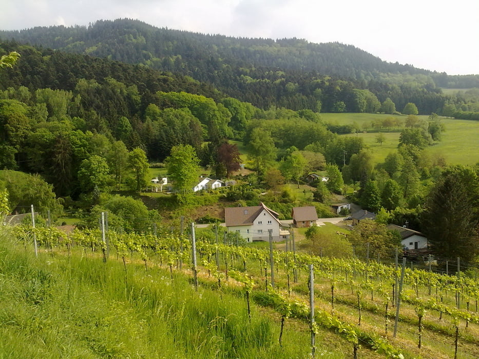
Schöne Feierabendtour in der schönsten Landschaft Deutschlands, dem Markgräflerland.
Herrliche Ausblicke und ein tolles Klima machen diese Tour zum Genuß.
Galerie du tour
Carte du tour et altitude
Minimum height 260 m
Maximum height 441 m
Commentaires

Betberg im Markgräflerland
siehe Daten
Tracks GPS
Trackpoints-
GPX / Garmin Map Source (gpx) download
-
TCX / Garmin Training Center® (tcx) download
-
CRS / Garmin Training Center® (crs) download
-
Google Earth (kml) download
-
G7ToWin (g7t) download
-
TTQV (trk) download
-
Overlay (ovl) download
-
Fugawi (txt) download
-
Kompass (DAV) Track (tk) download
-
Feuille de tours (pdf) download
-
Original file of the author (gpx) download
Add to my favorites
Remove from my favorites
Edit tags
Open track
My score
Rate


