Login

Login oublié ?

Cookies have to be accepted!
Your browser's cookie functionality is disabled. Please enable this functionality.

Not a member yet?

Register now
Login

Available for registred users only

Log in to use this feature.

Login oublié ?

Cookies have to be accepted!
Your browser's cookie functionality is disabled. Please enable this functionality.

Not a member yet?

Register now
Filter
Catégories
Advanced filters
  • Longueur (km)
  • Altimètre
Enregistrer le filtre Reset filter

TrackRank

QRCode

Technical data

Longueur50,0 km Altimètre573 m Way down567 m Durée03:00 h:m Date30.04.2011
Evaluations Author User Paysage Aspect amusement Condition Technique

Statistiques

1330 Vues 1 Evaluation 199 Téléchargements 4.00 Moyenne
Rate
  • Feuille de tours
  • Arrivée
  • Téléchargements

Start der Tour ist am Waldparkplatz in Kirchseeon.

Schöne Runde auf guten kaum befahrenen Wegen, meistens mit schönem Alpenpanorama.

Am Gut Herrmannsdorfer kann man sich nach 3/4 der Tour im schönen Biergarten bei einem Schweinsbräu erholen...
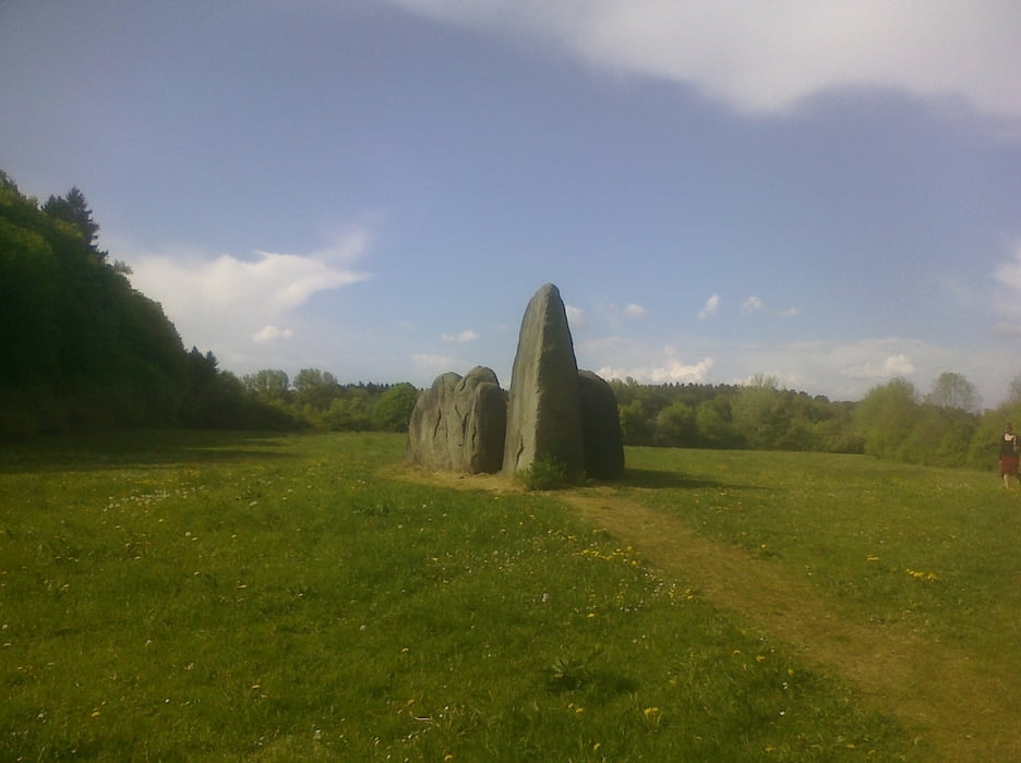
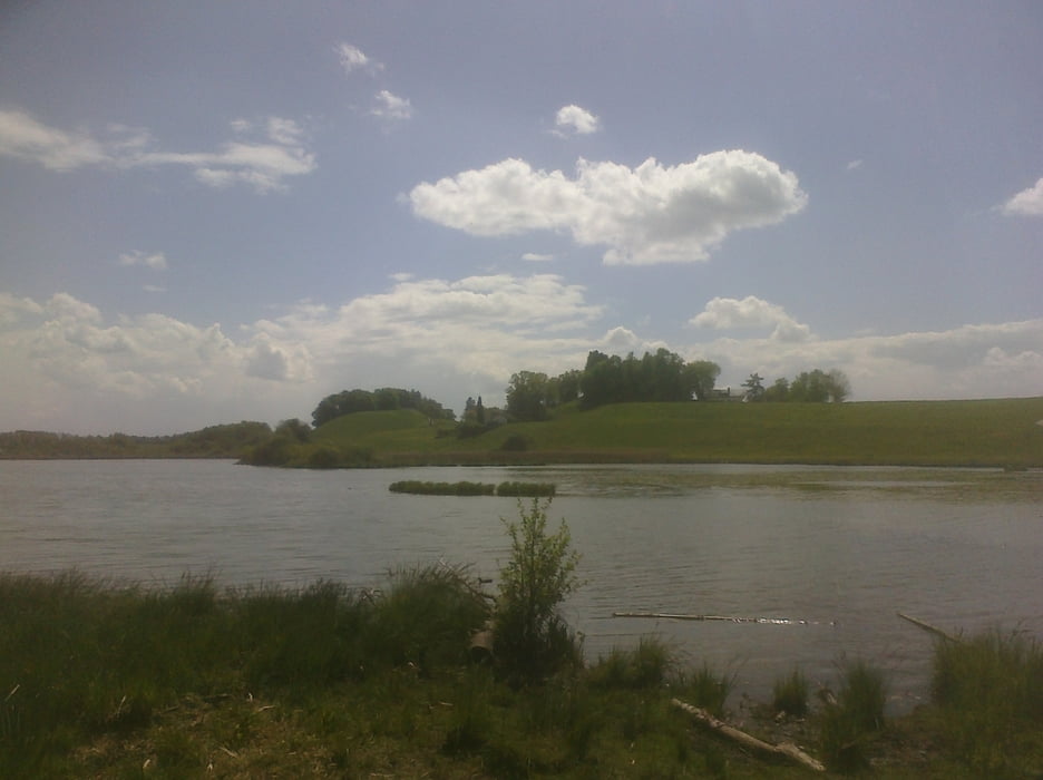


Galerie du tour

Carte du tour et altitude

  • Open Street Map
  • Google
Minimum height 497 m Maximum height 599 m Vue de détail

More about the tour author

barhudo
Member since 2009

Send private message

Commentaires

kallekarl on 04.04.2014

Viel Asphalt

Landschaftlich eine sehr schöne Runde. Leider aber zu gut 70% auf Asphaltwegen und auch oft auf (kleinen) Strassen. Wieso die Tour in der Kategorie Mountainbike auftaucht verstehe ich nicht.
bikyfier on 09.05.2024

Landschaftlich sehr schön

.... aber definitiv keine MTB-Tour.
Start ist in Kirchseeon am Waldfriedhof

Tracks GPS

Trackpoints
  • GPX / Garmin Map Source (gpx) download
  • TCX / Garmin Training Center® (tcx) download
  • CRS / Garmin Training Center® (crs) download
  • Google Earth (kml) download
  • G7ToWin (g7t) download
  • TTQV (trk) download
  • Overlay (ovl) download
  • Fugawi (txt) download
  • Kompass (DAV) Track (tk) download
  • Feuille de tours (pdf) download
  • Original file of the author (tcx) download

More about the tour author

barhudo
Member since 2009

Send private message
Share track
Add to my favorites
Remove from my favorites
Edit tags
My score
Rate
Tour: Giro di Grafing
Cat.: Mountainbike
Longueur: 50,0 km
Evaluated on:
Durée:
Day(s)
Hour(s)
Minute(s)
Evaluation: Paysage Aspect amusement Condition Technique