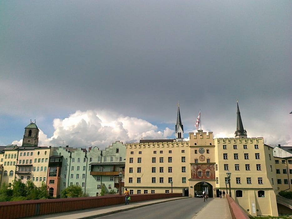
In Vogtareuth nicht nach Winkl abbiegen (Verfahrer), sondern entweder auf Haupstrasse nach Griesstätt oder über Sunkenroth- Obermühl- Berg nach Griesstätt (ruhiger). In Griesstätt nach Kettenham fahren sonst landet man wieder auf der Haupstrasse nach Wasserburg.
Rückweg von Wasserburg ist über Pfafing - Amerang - Höslwang - Bad Endorf bestimmt ruhiger und schöner. Da wir ein Gewitter im Nacken hatten ging auf der Bundesstrasse zurück. Ab Halfing Radweg nach Bad Endorf.
Galerie du tour
Carte du tour et altitude
Minimum height 424 m
Maximum height 639 m
Commentaires

Tracks GPS
Trackpoints-
GPX / Garmin Map Source (gpx) download
-
TCX / Garmin Training Center® (tcx) download
-
CRS / Garmin Training Center® (crs) download
-
Google Earth (kml) download
-
G7ToWin (g7t) download
-
TTQV (trk) download
-
Overlay (ovl) download
-
Fugawi (txt) download
-
Kompass (DAV) Track (tk) download
-
Feuille de tours (pdf) download
-
Original file of the author (gpx) download
Add to my favorites
Remove from my favorites
Edit tags
Open track
My score
Rate


