

Eine nette Runde zum Feierabend, um schön locker zu bleiben :-))
Leider viel Straße, um ein paar Kilometer zu schaffen.
Dafür waren die Rapsfelder umso schöner.
Ich stelle die Tour hier eigentlich mehr wegen der Bilder ein.
Leider viel Straße, um ein paar Kilometer zu schaffen.
Dafür waren die Rapsfelder umso schöner.
Ich stelle die Tour hier eigentlich mehr wegen der Bilder ein.
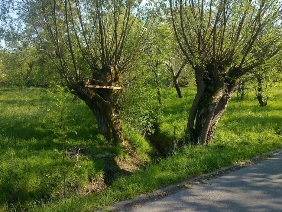
Galerie du tour


Carte du tour et altitude
Minimum height 127 m
Maximum height 386 m
More about the tour author
|
|
GS_Rider |
Commentaires

Tracks GPS
Trackpoints-
GPX / Garmin Map Source (gpx) download
-
TCX / Garmin Training Center® (tcx) download
-
CRS / Garmin Training Center® (crs) download
-
Google Earth (kml) download
-
G7ToWin (g7t) download
-
TTQV (trk) download
-
Overlay (ovl) download
-
Fugawi (txt) download
-
Kompass (DAV) Track (tk) download
-
Feuille de tours (pdf) download
-
Original file of the author (gpx) download
More about the tour author
|
|
GS_Rider |
Add to my favorites
Remove from my favorites
Edit tags
Open track
My score
Rate