


Der ausgeschildertre Wanderweg (Hagebutte in Raute) von Mühlacker bis Schopfloch ist landschaftlich besonders interessant. Er führt von dem mit vielseitigem Bewuchs offenen Hecken- und Schlehengäu zum Rande des Nordschwarzwald.
Diese Tour führt als Teiletappe entlang dieses Weges von Nagold bis Schopfloch und als Rundtour-Abschluss durchs Steinachtal wieder zurück.
Vor Schwimmbad Brücke über die Nagold und Radweg Richtung Westen, rechts hoch auf Höhenweg.
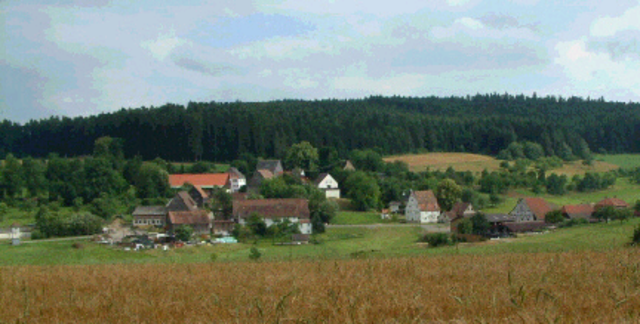
Bei Walddorf schöne Aussicht ins obere Nagoldtal.
Durch das Landschaftsschutzgebiet Egenhauser „Kapf“ und das Staudachtal
Zurück entlang der Bahnlinie und durch das Steinachtal.
Diese Tour führt als Teiletappe entlang dieses Weges von Nagold bis Schopfloch und als Rundtour-Abschluss durchs Steinachtal wieder zurück.
Vor Schwimmbad Brücke über die Nagold und Radweg Richtung Westen, rechts hoch auf Höhenweg.
Bei Walddorf schöne Aussicht ins obere Nagoldtal.
Durch das Landschaftsschutzgebiet Egenhauser „Kapf“ und das Staudachtal
Zurück entlang der Bahnlinie und durch das Steinachtal.
Galerie du tour
Carte du tour et altitude
Minimum height 404 m
Maximum height 718 m
More about the tour author
|
|
Dnalor |
Commentaires

In Nagold westlich des Stadtzentrums an der B28 am „Uferparkplatz“ (beim Schwimmbad) gute Parkmöglichkeit.
Tracks GPS
Trackpoints-
GPX / Garmin Map Source (gpx) download
-
TCX / Garmin Training Center® (tcx) download
-
CRS / Garmin Training Center® (crs) download
-
Google Earth (kml) download
-
G7ToWin (g7t) download
-
TTQV (trk) download
-
Overlay (ovl) download
-
Fugawi (txt) download
-
Kompass (DAV) Track (tk) download
-
Feuille de tours (pdf) download
More about the tour author
|
|
Dnalor |
Add to my favorites
Remove from my favorites
Edit tags
Open track
My score
Rate