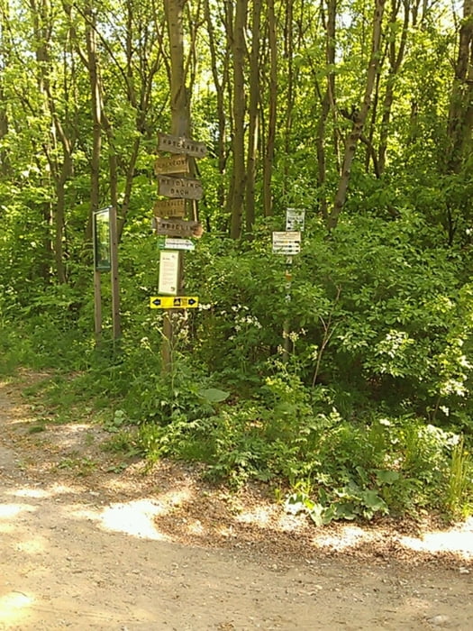
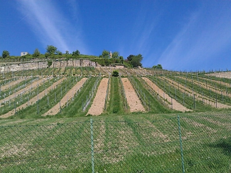
Von Wien aus dem Donuakanal folgen, und am Kahlenbergdorf auf den Jungherrnsteig den Kahlebnberg hinauf. Achtung ungefähr 100 Meter Stufen (Rad schieben), aber dafür landschaftlich schöner, und man vermeidet zum grossteil die Strasse. Auch der Rest der Tour hat mit der beschilderten Kahlenbergdorf-Runde nur wenig gemeinsam.
Galerie du tour
Carte du tour et altitude
Minimum height 73 m
Maximum height 423 m
Commentaires

Tracks GPS
Trackpoints-
GPX / Garmin Map Source (gpx) download
-
TCX / Garmin Training Center® (tcx) download
-
CRS / Garmin Training Center® (crs) download
-
Google Earth (kml) download
-
G7ToWin (g7t) download
-
TTQV (trk) download
-
Overlay (ovl) download
-
Fugawi (txt) download
-
Kompass (DAV) Track (tk) download
-
Feuille de tours (pdf) download
-
Original file of the author (gpx) download
Add to my favorites
Remove from my favorites
Edit tags
Open track
My score
Rate


