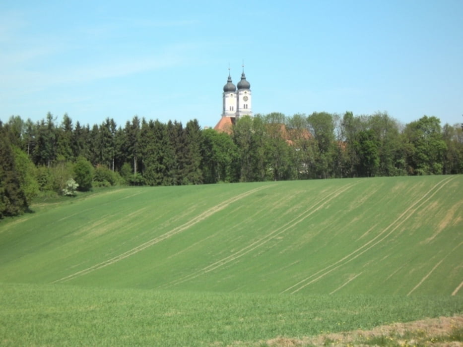
Diese Tour beginnt in Bellenberg an der Römerhalde. Der Einstieg hier ist sehr steil, was aber so im Verlauf der Strecke nicht mehr vor kommt.
Die Strecke verläuft überwiegend auf Wald- und Feldwegen. Einem Auto zu begegnen ist meist unwahrscheinlich, was diese Tour aber auch so schön macht. Hier ist man mitten in der Natur.
Ob mit einer Picknick-Decke im Gepäck, oder auch nur als Power-Runde, hier kommt jeder auf seine Kosten.
Viel Spass und unfallfreies Fahren
Gruß Volker
Über einen Kommentar würde ich mich freuen.
Galerie du tour
Carte du tour et altitude
Minimum height 501 m
Maximum height 573 m
Commentaires

Tracks GPS
Trackpoints-
GPX / Garmin Map Source (gpx) download
-
TCX / Garmin Training Center® (tcx) download
-
CRS / Garmin Training Center® (crs) download
-
Google Earth (kml) download
-
G7ToWin (g7t) download
-
TTQV (trk) download
-
Overlay (ovl) download
-
Fugawi (txt) download
-
Kompass (DAV) Track (tk) download
-
Feuille de tours (pdf) download
-
Original file of the author (gpx) download
Add to my favorites
Remove from my favorites
Edit tags
Open track
My score
Rate


