Login

Login oublié ?

Cookies have to be accepted!
Your browser's cookie functionality is disabled. Please enable this functionality.

Not a member yet?

Register now
Login

Available for registred users only

Log in to use this feature.

Login oublié ?

Cookies have to be accepted!
Your browser's cookie functionality is disabled. Please enable this functionality.

Not a member yet?

Register now
Filter
Catégories
Advanced filters
  • Longueur (km)
  • Altimètre
Enregistrer le filtre Reset filter

TrackRank

QRCode

Technical data

Longueur12,2 km Altimètre403 m Way down373 m Durée00:55 h:m Date10.05.2011
Evaluations Author Paysage Aspect amusement Condition Technique

Statistiques

1066 Vues Evaluations 76 Téléchargements Moyenne
Rate
  • Feuille de tours
  • Arrivée
  • Téléchargements
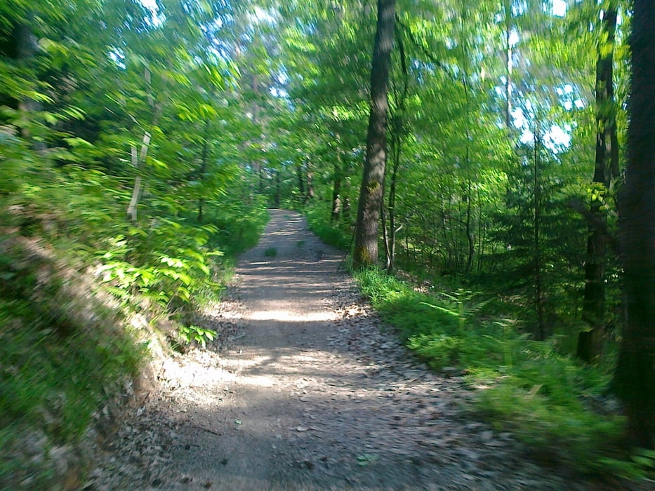
Lep izlet, primeren za kakšen dan ko ni časa za kaj daljšega. Začnemo v Pržanju na končni postaji avtobusa (7). Asvaltna cesta nas pripelje na vrh do lovskega doma. Sledi lep spust po grebenu do Šentvida od koder se vrnemo na izhodišče.

Galerie du tour

Carte du tour et altitude

  • Open Street Map
  • Google
Minimum height 353 m Maximum height 633 m Vue de détail

More about the tour author

mlaki
Member since 2011

Send private message

Commentaires

Tracks GPS

Trackpoints
  • GPX / Garmin Map Source (gpx) download
  • TCX / Garmin Training Center® (tcx) download
  • CRS / Garmin Training Center® (crs) download
  • Google Earth (kml) download
  • G7ToWin (g7t) download
  • TTQV (trk) download
  • Overlay (ovl) download
  • Fugawi (txt) download
  • Kompass (DAV) Track (tk) download
  • Feuille de tours (pdf) download
  • Original file of the author (gpx) download

More about the tour author

mlaki
Member since 2011

Send private message
Share track
Add to my favorites
Remove from my favorites
Edit tags
My score
Rate
Tour: Pržanj-Toško čelo
Cat.: Mountainbike
Longueur: 12,2 km
Evaluated on:
Durée:
Day(s)
Hour(s)
Minute(s)
Evaluation: Paysage Aspect amusement Condition Technique