Login

Login oublié ?

Cookies have to be accepted!
Your browser's cookie functionality is disabled. Please enable this functionality.

Not a member yet?

Register now
Login

Available for registred users only

Log in to use this feature.

Login oublié ?

Cookies have to be accepted!
Your browser's cookie functionality is disabled. Please enable this functionality.

Not a member yet?

Register now
Filter
Catégories
Advanced filters
  • Longueur (km)
  • Altimètre
Enregistrer le filtre Reset filter

TrackRank

QRCode

Technical data

Longueur37,8 km Altimètre798 m Way down781 m Durée00:00 h:m Date15.05.2011
Evaluations Author Paysage Aspect amusement Condition Technique

Statistiques

375 Vues Evaluations 18 Téléchargements Moyenne
Rate
  • Feuille de tours
  • Arrivée
  • Téléchargements

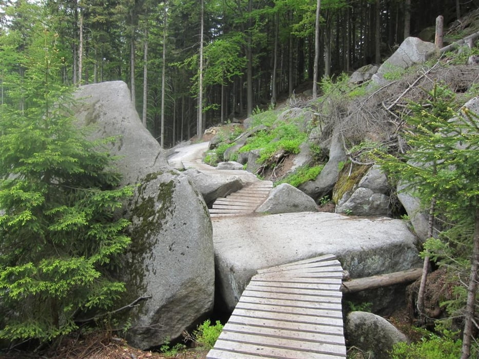
Traily v Rychlebských horách jsou náročné, ale krásné. Musím se přiznat, že pár metrů na počátku úseku Wales jsem nedal. Pak už to byla velká paráda. Je to hodně o hlavě.

Nová část podél Černého potoka je pohodová.

Further information at

http://www.rychlebskestezky.cz/

Galerie du tour

Carte du tour et altitude

  • Open Street Map
  • Google
Minimum height 227 m Maximum height 803 m Vue de détail

More about the tour author

alias62
Member since 2010

Send private message

Commentaires

Tracks GPS

Trackpoints
  • GPX / Garmin Map Source (gpx) download
  • TCX / Garmin Training Center® (tcx) download
  • CRS / Garmin Training Center® (crs) download
  • Google Earth (kml) download
  • G7ToWin (g7t) download
  • TTQV (trk) download
  • Overlay (ovl) download
  • Fugawi (txt) download
  • Kompass (DAV) Track (tk) download
  • Feuille de tours (pdf) download
  • Original file of the author (gpx) download

More about the tour author

alias62
Member since 2010

Send private message
Share track
Add to my favorites
Remove from my favorites
Edit tags
My score
Rate
Tour: Rychlebské stezky
Cat.: Mountainbike
Longueur: 37,8 km
Evaluated on:
Durée:
Day(s)
Hour(s)
Minute(s)
Evaluation: Paysage Aspect amusement Condition Technique