


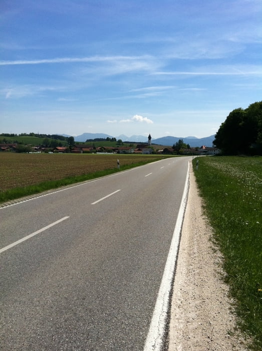
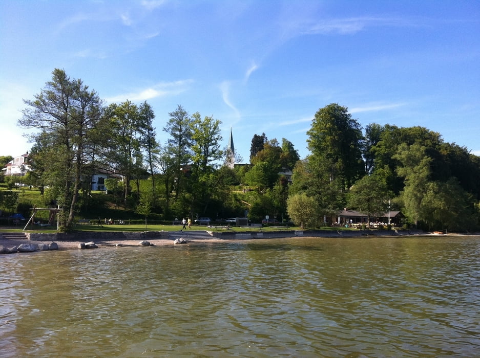
Start war in Seebruck, am Campingplatz Richtung Altenmark. Habe versucht mich zu orientieren an dem Alz Radweg, der eigentlich die meiste Zeit geteert sein soll. Aber leider sind die Schilder nicht immer gut lesbar. Habe mich irgendwann mal nur nach den Schildern Richtung Tittmoning gehalten, da es in der Gegend nicht all zuviel stark befahrende Strassen sind. Tittmoning ist ein sehr schöner Ort. Anschließend ging es Richtung Waging am See. Hier gibt es optimierungsbedarf in meiner Tour. Es ist eventl. besser über Kay zu fahren! Nach Waging einfach wieder Richtung Traunstein anschließend Chieming/Seebruck.
Landschaftlich ist es Oberbayern pur mit Blick auf die Berge mit nur kleinen Steigungen.
Galerie du tour


Carte du tour et altitude
Minimum height 378 m
Maximum height 629 m
More about the tour author

|
jemms |
Commentaires

Tracks GPS
Trackpoints-
GPX / Garmin Map Source (gpx) download
-
TCX / Garmin Training Center® (tcx) download
-
CRS / Garmin Training Center® (crs) download
-
Google Earth (kml) download
-
G7ToWin (g7t) download
-
TTQV (trk) download
-
Overlay (ovl) download
-
Fugawi (txt) download
-
Kompass (DAV) Track (tk) download
-
Feuille de tours (pdf) download
-
Original file of the author (gpx) download
More about the tour author
|
|
jemms |
Add to my favorites
Remove from my favorites
Edit tags
Open track
My score
Rate