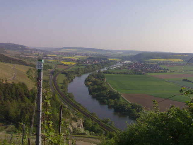
Login

Login oublié ?

Cookies have to be accepted!
Your browser's cookie functionality is disabled. Please enable this functionality.

Not a member yet?

Register now
Login

Available for registred users only

Log in to use this feature.

Login oublié ?

Cookies have to be accepted!
Your browser's cookie functionality is disabled. Please enable this functionality.

Not a member yet?

Register now
Filter
Catégories
Advanced filters
  • Longueur (km)
  • Altimètre
Enregistrer le filtre Reset filter

TrackRank

QRCode

Technical data

Longueur46,6 km Altimètre768 m Way down773 m Durée02:40 h:m Date20.05.2007
Evaluations Author Paysage Aspect amusement Condition Technique

Statistiques

2837 Vues 3 Evaluations 444 Téléchargements 4.67 Moyenne
Rate
  • Feuille de tours
  • Arrivée
  • Téléchargements

Galerie du tour

Carte du tour et altitude

  • Open Street Map
  • Google
Minimum height 202 m Maximum height 460 m Vue de détail

More about the tour author

marty1976
Member since 2007

Send private message

Commentaires

Domingo_Chavec on 02.08.2007

Sehr schöne Tour am Main. Hätte nicht gedacht das es dort solch gute Trails gibt!
Mehr!!!
Dieter Pfennig on 28.08.2007

M- weg nach Karlstadt

Wir haben die Tour bis Gambach ausgedehnt. Gigantische Aussichten und Traumhafte Trails. Super zwischen Karlstadt und Gambach.Oberhalb des Klettergartens super Aussicht!!
Von Würzburg die B27 Richtung Karlstadt fahren. In Veitshöchheim die zweite Abfahrt nehmen (Birkental). Parkplatz suchen und starten.

Tracks GPS

Trackpoints
  • GPX / Garmin Map Source (gpx) download
  • TCX / Garmin Training Center® (tcx) download
  • CRS / Garmin Training Center® (crs) download
  • Google Earth (kml) download
  • G7ToWin (g7t) download
  • TTQV (trk) download
  • Overlay (ovl) download
  • Fugawi (txt) download
  • Kompass (DAV) Track (tk) download
  • Feuille de tours (pdf) download
  • Original file of the author (g7t) download

More about the tour author

marty1976
Member since 2007

Send private message
Share track
Add to my favorites
Remove from my favorites
Edit tags
My score
Rate
Tour: M-Weg nach Karlstadt
Cat.: Mountainbike
Longueur: 46,6 km
Evaluated on:
Durée:
Day(s)
Hour(s)
Minute(s)
Evaluation: Paysage Aspect amusement Condition Technique