Fortsetzung von Bierwanderung 2011 - Tag 2
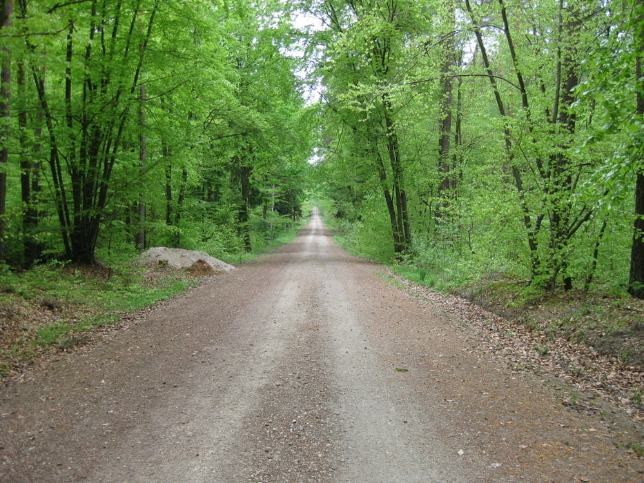
Wir schreiben den 1. Mai 2011. Welches Datum könnte besser sein um die letzte Etappe unserer Bierwanderung anzugehen. Natürlich fordert dieser Feiertag, besonders wenn er auf einen Sonntag fällt, geradezu einen ordentlichen Frühschoppen.
Wer mehr erfahren möchte klickt auf untenstehenden Link.
Further information at
http://www.wandern-im-coburger-land.de/bierwanderung2011.htmlGalerie du tour
Carte du tour et altitude
Minimum height 234 m
Maximum height 340 m
Commentaires

siehe Tourenblatt Bierwanderung 2011 - Tag 1
Fortsetzung einer Dreitageswanderung
Tracks GPS
Trackpoints-
GPX / Garmin Map Source (gpx) download
-
TCX / Garmin Training Center® (tcx) download
-
CRS / Garmin Training Center® (crs) download
-
Google Earth (kml) download
-
G7ToWin (g7t) download
-
TTQV (trk) download
-
Overlay (ovl) download
-
Fugawi (txt) download
-
Kompass (DAV) Track (tk) download
-
Feuille de tours (pdf) download
-
Original file of the author (gpx) download
Add to my favorites
Remove from my favorites
Edit tags
Open track
My score
Rate


