

Eine fantastische Tour - Aus der Großstadt durch das Voralpenland in die Berge.
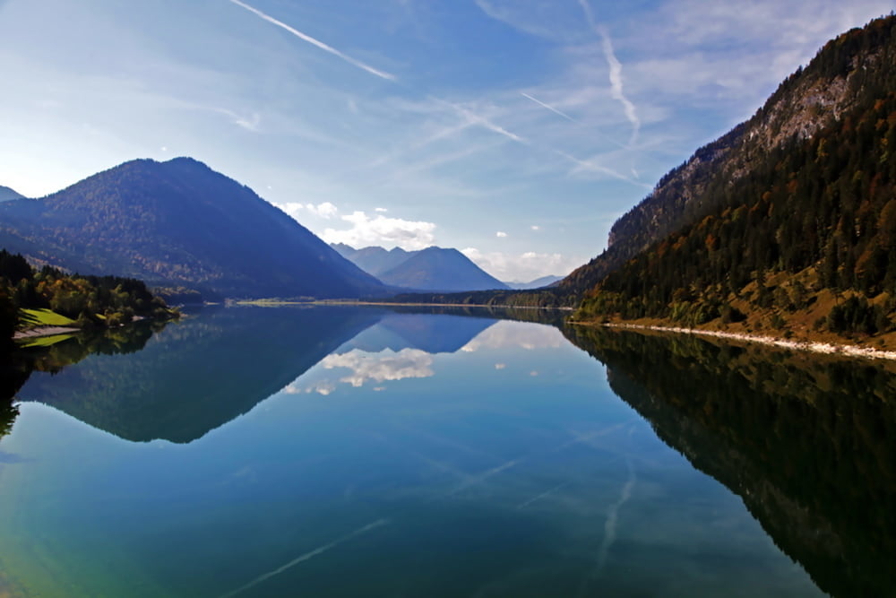
Es geht durch den Perlacher Forst über kleine Dörfer nach Lenggries - Sylvenstein - nach Wallgau - Walchensee - Kochelsee - nach Starnberg zurück nach München.
So fern es immer möglich war, bin ich kleine Nebenstraßen gefahren.
Eine traumhafte Tour mit der Möglichkeit in 4 Seen eine Abkühlung zu genießen
Bis auf die Rampe in Eurasburg sind keine steilen Anstiege dabei.
Die Tour kann eigentlich überall begonnen werden.
Wer etwas verkürzen möchte, fährt mit der BoB nach Lenggries und steigt dort in die Tour, oder kehrt die Tour um und radelt bis Lenggies und steigt am Ende in die BoB
Im Anhand der Link zum Fahrplan der BoB
Further information at
http://www.bayerischeoberlandbahn.de/fahrplaene-strecken/fahrplan/index.htmlCarte du tour et altitude
Minimum height 515 m
Maximum height 883 m
More about the tour author
|
|
b-bas |
Commentaires

Die Tour kann eigentlich überall begonnen werden.
Wer etwas verkürzen möchte, fährt mit der BoB nach Lenggries und steigt dort in die Tour, oder kehrt die Tour um und radelt bis Lenggies und steigt am Ende in die BoB
Im Anhand der Link zum Fahrplan der BoB
Tracks GPS
Trackpoints-
GPX / Garmin Map Source (gpx) download
-
TCX / Garmin Training Center® (tcx) download
-
CRS / Garmin Training Center® (crs) download
-
Google Earth (kml) download
-
G7ToWin (g7t) download
-
TTQV (trk) download
-
Overlay (ovl) download
-
Fugawi (txt) download
-
Kompass (DAV) Track (tk) download
-
Feuille de tours (pdf) download
-
Original file of the author (gpx) download
More about the tour author
|
|
b-bas |
Add to my favorites
Remove from my favorites
Edit tags
Open track
My score
Rate