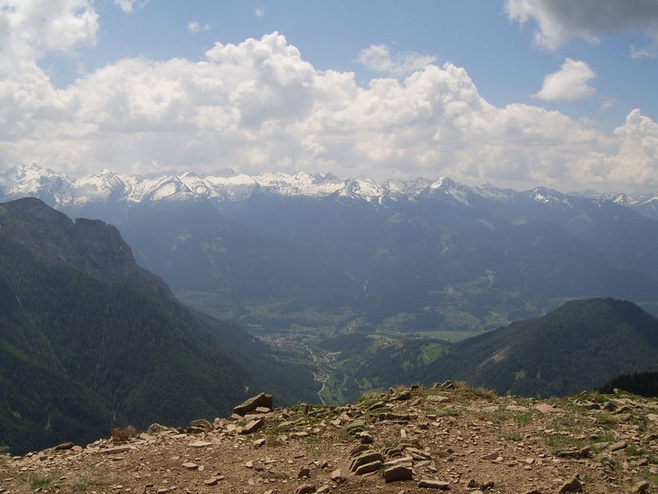
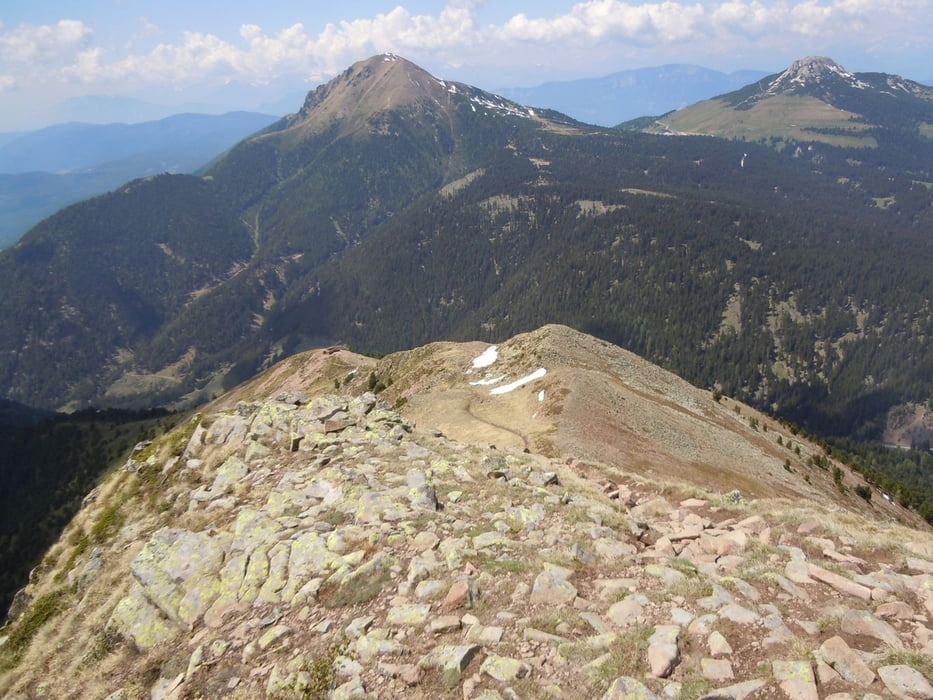
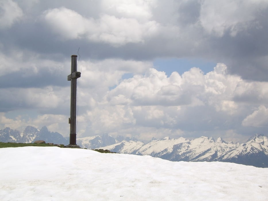
Schöner, wenn auch konditionell anspruchsvolle Wanderung auf den Zanggenberg. Traumhafte Natur, wundervolle Aussicht. Trittsicherheit und Schwindelfreiheit erforderlich. Achten sie auf sicheres Wetter! Im Frühjahr und im Herbst ist am Gipfel mit Schnee zu rechnen, die Bilder sind von Ende Mai und da war immer noch Schnee auf Teilen des Weges.
Galerie du tour
Carte du tour et altitude
Minimum height 1185 m
Maximum height 2488 m
Commentaires

Parkplatz am Lavazéjoch - Passo di Lavazé
Tracks GPS
Trackpoints-
GPX / Garmin Map Source (gpx) download
-
TCX / Garmin Training Center® (tcx) download
-
CRS / Garmin Training Center® (crs) download
-
Google Earth (kml) download
-
G7ToWin (g7t) download
-
TTQV (trk) download
-
Overlay (ovl) download
-
Fugawi (txt) download
-
Kompass (DAV) Track (tk) download
-
Feuille de tours (pdf) download
-
Original file of the author (gpx) download
Add to my favorites
Remove from my favorites
Edit tags
Open track
My score
Rate


