Login

Login oublié ?

Cookies have to be accepted!
Your browser's cookie functionality is disabled. Please enable this functionality.

Not a member yet?

Register now
Login

Available for registred users only

Log in to use this feature.

Login oublié ?

Cookies have to be accepted!
Your browser's cookie functionality is disabled. Please enable this functionality.

Not a member yet?

Register now
Filter
Catégories
Advanced filters
  • Longueur (km)
  • Altimètre
Enregistrer le filtre Reset filter

TrackRank

QRCode

Technical data

Longueur68,3 km Altimètre1978 m Way down1991 m Durée00:00 h:m Date03.06.2011
Evaluations Author Paysage Aspect amusement Condition Technique

Statistiques

250 Vues Evaluations 31 Téléchargements Moyenne
Rate
  • Feuille de tours
  • Arrivée
  • Téléchargements

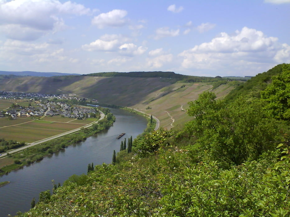
Wieder eine Tour/Variante  rund um die Mosel. Bei sehr warmen Themperaturen ging es recht viel durch den kühlen schattigen Wald.

Anfang ist der Parkplatz gleich nach der Autobahnabfahrt Mehring, in Richtung Mehring gleich rechts.

Von hier gehts erst mal zu den Mehringer DH Trails, hier dann runter nach Mehring und weiter....

Carte du tour et altitude

  • Open Street Map
  • Google
Minimum height 104 m Maximum height 428 m Vue de détail

More about the tour author

Paul.Steffes
Member since 2007

Send private message

Commentaires

Autobahnabfahrt Mehring, links, links nach Mehring und gleich rechts auf den Parkplatz.

Tracks GPS

Trackpoints
  • GPX / Garmin Map Source (gpx) download
  • TCX / Garmin Training Center® (tcx) download
  • CRS / Garmin Training Center® (crs) download
  • Google Earth (kml) download
  • G7ToWin (g7t) download
  • TTQV (trk) download
  • Overlay (ovl) download
  • Fugawi (txt) download
  • Kompass (DAV) Track (tk) download
  • Feuille de tours (pdf) download
  • Original file of the author (gpx) download

More about the tour author

Paul.Steffes
Member since 2007

Send private message
Share track
Add to my favorites
Remove from my favorites
Edit tags
My score
Rate
Tour: VATERTAG
Cat.: Mountainbike
Longueur: 68,3 km
Evaluated on:
Durée:
Day(s)
Hour(s)
Minute(s)
Evaluation: Paysage Aspect amusement Condition Technique