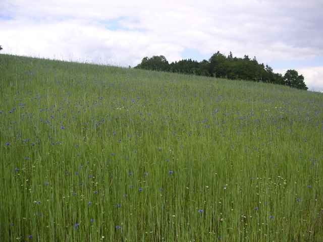
Traumtour über die Gis nach Zwettl, Helmonsödt nach St. Magdalena: Auf die Gis - WW 109 nach Untergeng - WW 109 zur Ruine Lobenstein - WW 74 über den Gasthof Sonnenhof nach Zwettl - WW 150 u. 160 nach Hellmonsödt - WW 160 nach St. Magdalena Linz.
75% Trails, Wanderwege, Wiesenwege
25% Asphalt
75% Trails, Wanderwege, Wiesenwege
25% Asphalt
Carte du tour et altitude
Minimum height 242 m
Maximum height 899 m
Commentaires

veste
on 02.09.2004
super wanderwege :)

Invité
on 20.08.2005
nett u. abwechslungsreich! fahr ich immer gerne mal wieder

soelli
on 31.07.2006
tolle tour - sehr zum empfehlen - auch von der anderen Richtung :)

Markus
on 31.07.2006
Was man ergänzen könnte: Die zweite Hälfte des Stücks vom Rodltal bis zur Burg Lobenstein ist Biken verboten. Wer sowieso schon müde ist, kann alternativ im Rodltal nach Zwettl fahren (wenn der Weg nicht gerade zugewachsen ist ...)

hans
on 16.07.2007
hat total spaß gemacht, tolle runde

Linz-Leonfeldner Str.- Spar Parkplatz (Gründberg)
Tracks GPS
Trackpoints-
GPX / Garmin Map Source (gpx) download
-
TCX / Garmin Training Center® (tcx) download
-
CRS / Garmin Training Center® (crs) download
-
Google Earth (kml) download
-
G7ToWin (g7t) download
-
TTQV (trk) download
-
Overlay (ovl) download
-
Fugawi (txt) download
-
Kompass (DAV) Track (tk) download
-
Feuille de tours (pdf) download
-
Original file of the author (g7t) download
Add to my favorites
Remove from my favorites
Edit tags
Open track
My score
Rate


