


Das ist eine sehr leichte Tour, die man auch an sehr warmen Tagen machen kann, da ein großer Teil der Tour im Schatten von Baum und Strauch stattfindet. Es geht auch über ein Moor mit Hilfe eines Holstieges. In Wismar selbst hat man Gastronomie und es geht an dem Ökologischem Schulungszentrum vorbei. Wer es nicht kennt- ein Besuch lohnt sich. Wismar in ala Miniatur und Hanffplanzen sollen Stichworte sein.
Für mutige gibt es auch Bedestellen.
Viel Spaß
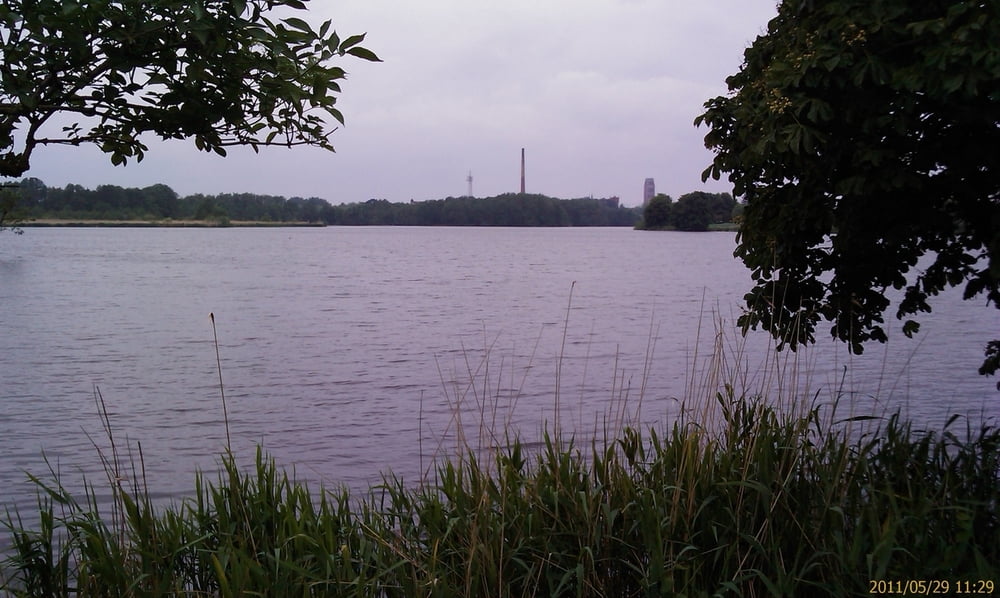
Galerie du tour
Carte du tour et altitude
Minimum height -62 m
Maximum height 33 m
More about the tour author

|
gerald009 |
Commentaires

In Wismar unter oder an der "Hochbrücke" parken. Vor dem Finanzamt geht auch
Tracks GPS
Trackpoints-
GPX / Garmin Map Source (gpx) download
-
TCX / Garmin Training Center® (tcx) download
-
CRS / Garmin Training Center® (crs) download
-
Google Earth (kml) download
-
G7ToWin (g7t) download
-
TTQV (trk) download
-
Overlay (ovl) download
-
Fugawi (txt) download
-
Kompass (DAV) Track (tk) download
-
Feuille de tours (pdf) download
-
Original file of the author (gpx) download
More about the tour author
|
|
gerald009 |
Add to my favorites
Remove from my favorites
Edit tags
Open track
My score
Rate