

Ausgangspunkt der Tour ist St. Magdalena in Urfahr. Von dort geht es hinauf nach Helmonsödt und anschließend runter nach Bad Leonfelden. Dieser Teil der Strecke leichtes Gelände und man ist sehr schnell in Bad Leonfelden. Die Rückfahrt über Zwettel, entlang der Rodl nach Untergeng und anschließend rauf auf die Gis zehrt dann schon sehr an den Kräften. Zur Belohnung gibts anschließend die altbekannte Abfahrt nach Linz.
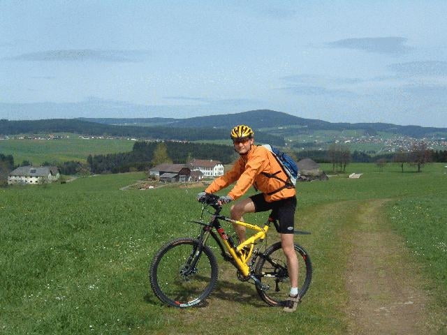
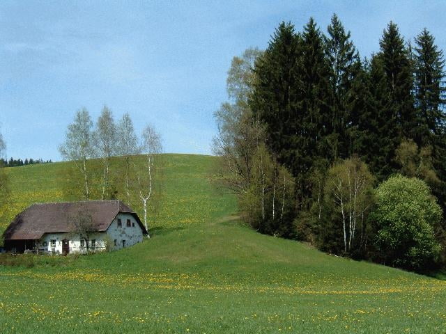
Galerie du tour
Carte du tour et altitude
Minimum height
Maximum height
More about the tour author

|
Commentaires

Über die A7 - entweder Abfahrt Urfahr oder Dornach - Richtung Magdalena, bei der Straßenbahnhaltestelle parken.
Tracks GPS
Trackpoints-
GPX / Garmin Map Source (gpx) download
-
TCX / Garmin Training Center® (tcx) download
-
CRS / Garmin Training Center® (crs) download
-
Google Earth (kml) download
-
G7ToWin (g7t) download
-
TTQV (trk) download
-
Overlay (ovl) download
-
Fugawi (txt) download
-
Kompass (DAV) Track (tk) download
-
Feuille de tours (pdf) download
-
Original file of the author (g7t) download
More about the tour author
|
|
Add to my favorites
Remove from my favorites
Edit tags
Open track
My score
Rate