


Anstrengende Tour mit knifflige Trails
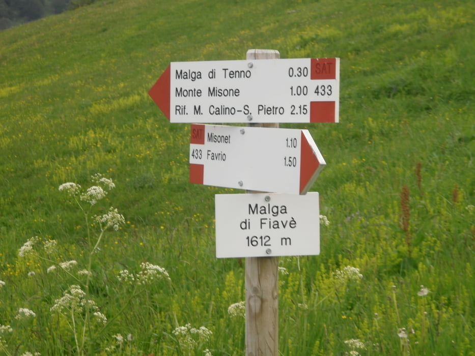
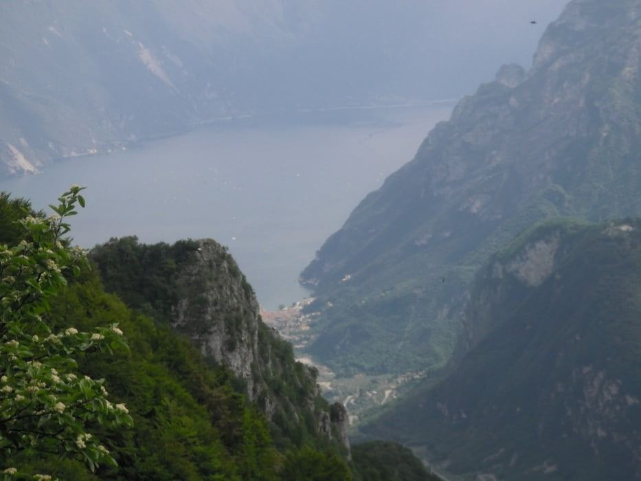
Start Torbole bei der Sarcabrücke,Radweg noch Arco über Varignano zum Tennosee nach Ballino.Ab da ca 1000hmt am Stück zum Rifugio Misone(Privatbesitz-keine Einkehr möglich)(90% Asphalt)hier schöner Höhentrail zum Aussichtspunkt Sella del Castiol.
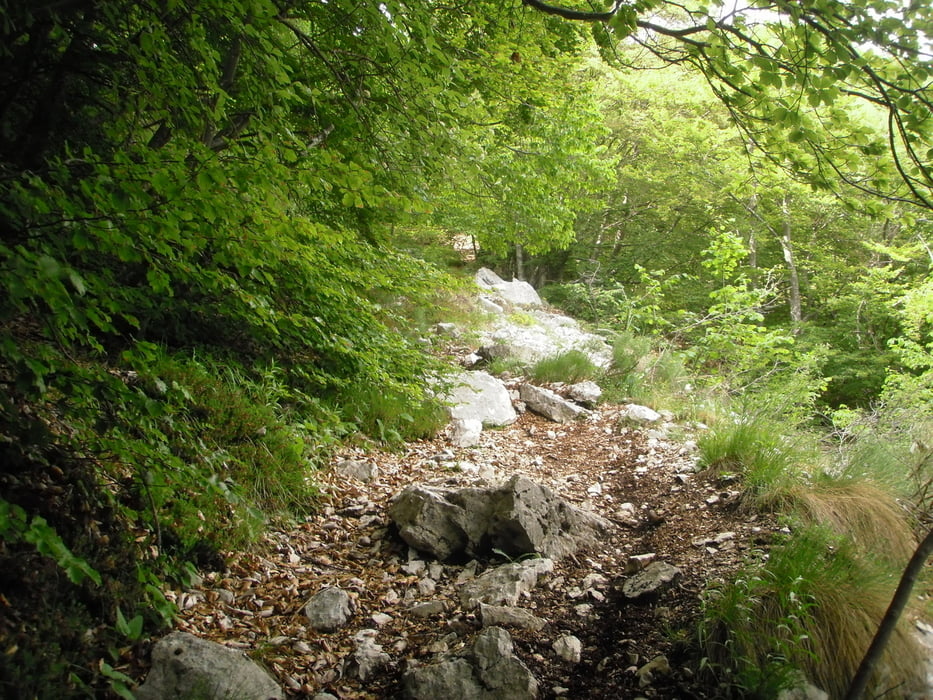
Von hier geht es fahrtechnisch ziemlich zur Sache,Die ersten 250hmt sind ein Hohlweg mit losem Geröll und engen Kurven S3-S4
danach wird es zunehmend besser max S2.Ab Rifugio San Pietro wieder einfachere Trails S2 bis Gavazzo hinunter.Auf dem Radweg zurück nach Riva und Torbole.(mein Track endet am Camping Maroadi.
Viel spaß
Galerie du tour

Carte du tour et altitude
Minimum height 74 m
Maximum height 1616 m
More about the tour author
|
|
josef_zinganel |
Commentaires

Tracks GPS
Trackpoints-
GPX / Garmin Map Source (gpx) download
-
TCX / Garmin Training Center® (tcx) download
-
CRS / Garmin Training Center® (crs) download
-
Google Earth (kml) download
-
G7ToWin (g7t) download
-
TTQV (trk) download
-
Overlay (ovl) download
-
Fugawi (txt) download
-
Kompass (DAV) Track (tk) download
-
Feuille de tours (pdf) download
-
Original file of the author (gpx) download
More about the tour author
|
|
josef_zinganel |
Add to my favorites
Remove from my favorites
Edit tags
Open track
My score
Rate