

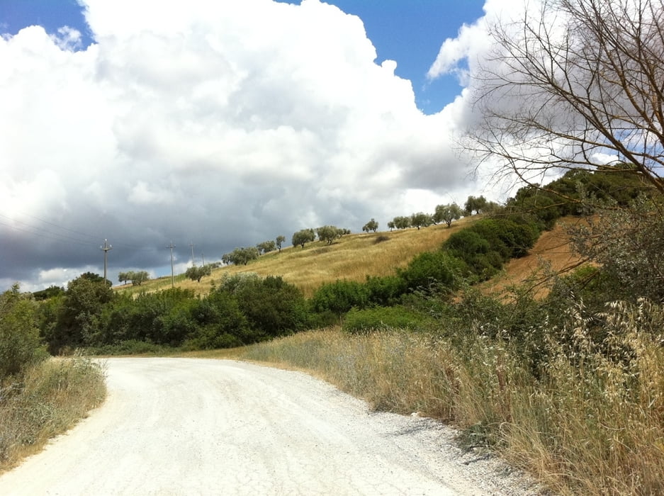
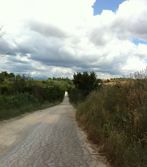
Die Tour hat mindestens zur Hälfte Teerstraßen. Sonst sind es Schotterstraßen mit teils starken Schlaglöchern und Unebenheiten, deswegen habe ich sie als Mountainbike-Tour eingestuft, ggf. auch mit Tourenrad befahrbar.
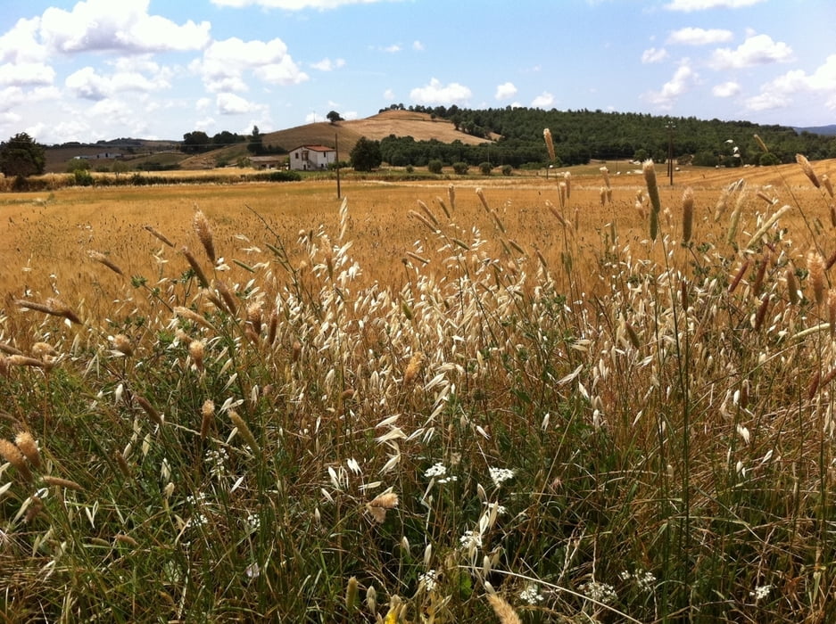
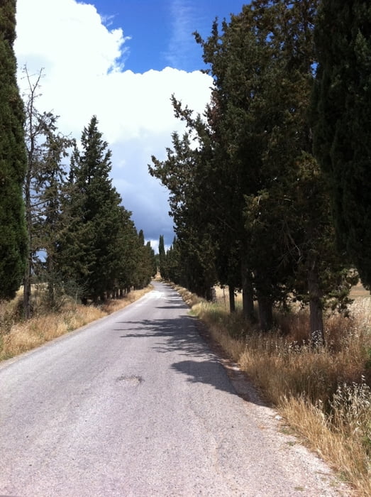
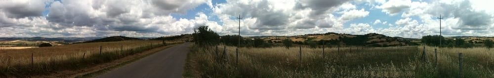
Technisch ist die Tour keine große Herausforderung, also keine Trails mit starkem Gefälle o.ä.. Die Landschaft drumherum ist aber umso schöner :) Ich habe auch viele Bilder dazu in Panoramio hochgeladen in der Hoffnung dass sie zu der Tour sichtbar werden, sobald sie von google geprüft worden sind: www.panoramio.com/user/5982552/tags/Manciano.
Trainierte Fahrer können einen Stern bei "Kondition" abziehen.
Die Tour beginnt von der Agrotourismo Unterkunft, in der wir gewohnt haben (palmoditerra), kann aber auch von Startpunkten in der Nähe abgefahren werden. In dieser Gegend gibt es sehr viele Agroturismo Unterkünfte. Oder z.B von LaSgrilla aus.
Der Besitzer von Palmo Di Terra hat auch noch einige andere Touren in der Umgebung, allerdings leider ohne GPS, d.h. nur eingezeichnete Karten (sind auch auf der Internet-Seite downloadbar - www.palmoditerrra.it)
Galerie du tour
Carte du tour et altitude
Minimum height 56 m
Maximum height 422 m
More about the tour author

|
brezn8 |
Commentaires

Die Tour beginnt von der Agrotourismo Unterkunft, in der wir gewohnt haben (palmoditerra), kann aber auch von Startpunkten in der Nähe abgefahren werden. In dieser Gegend gibt es sehr viele Agroturismo Unterkünfte
Tracks GPS
Trackpoints-
GPX / Garmin Map Source (gpx) download
-
TCX / Garmin Training Center® (tcx) download
-
CRS / Garmin Training Center® (crs) download
-
Google Earth (kml) download
-
G7ToWin (g7t) download
-
TTQV (trk) download
-
Overlay (ovl) download
-
Fugawi (txt) download
-
Kompass (DAV) Track (tk) download
-
Feuille de tours (pdf) download
-
Original file of the author (gpx) download
More about the tour author
|
|
brezn8 |
Add to my favorites
Remove from my favorites
Edit tags
Open track
My score
Rate