


Brenta Dolomiti Umrundung in 3 Tagen.
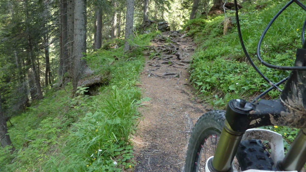
Start in Andalo. Da kann man direkt an dem Trail auf einen Parkplatz sein Auto parken, ohne Gebühr! Im Ort kurz noch ein paar Lebensmittel einkaufen und schon geht es los. Am 1 ten Tag schafft man es bis zum Rifugio Peller. Dort lässt sich gut übernachten und es gibt landestypische Gerichte von Mama. Der 2te Tag geht bis zum Refugio Graffer. Am dritten Tag erreicht man/frau den Ausgangspunkt wieder am Nachmittag. Alles in allem eine wunderschöne Rundstrecke mit knackigen Anstiegen, steilen Downhills-Uphills, feinstem Waldteppich-Böden, Geröllpisten, Trails von denen man noch lange träumt. Aussichten und Fernsichten, die schön sind. Beschilderung ist italienisch. Besser dem eigenen GPS Gerät folgen.
Alles in allem eine runde Sache.
Galerie du tour


Carte du tour et altitude
Minimum height 99999 m
Maximum height -99999 m
More about the tour author
|
|
rotwilder |
Commentaires

Startpunkt in Andalo. Die Strecke unbedingt gegen den uhrzeigersinn fahren!
Tracks GPS
Trackpoints-
GPX / Garmin Map Source (gpx) download
-
TCX / Garmin Training Center® (tcx) download
-
CRS / Garmin Training Center® (crs) download
-
Google Earth (kml) download
-
G7ToWin (g7t) download
-
TTQV (trk) download
-
Overlay (ovl) download
-
Fugawi (txt) download
-
Kompass (DAV) Track (tk) download
-
Feuille de tours (pdf) download
-
Original file of the author (gpx) download
More about the tour author
|
|
rotwilder |
Add to my favorites
Remove from my favorites
Edit tags
Open track
My score
Rate