Login

Login oublié ?

Cookies have to be accepted!
Your browser's cookie functionality is disabled. Please enable this functionality.

Not a member yet?

Register now
Login

Available for registred users only

Log in to use this feature.

Login oublié ?

Cookies have to be accepted!
Your browser's cookie functionality is disabled. Please enable this functionality.

Not a member yet?

Register now
Filter
Catégories
Advanced filters
  • Longueur (km)
  • Altimètre
Enregistrer le filtre Reset filter

TrackRank

QRCode

Technical data

Longueur53,3 km Altimètre1748 m Way down1747 m Durée00:00 h:m Date13.06.2011
Evaluations Author User Paysage Aspect amusement Condition Technique

Statistiques

6025 Vues 3 Evaluations 433 Téléchargements 4.67 Moyenne
Rate
  • Feuille de tours
  • Arrivée
  • Téléchargements

Start ist Unterjettenberg Richtung Bundeswehr Stützpunkt

Runde geht am besten entgegen dem Uhrzeigersinn

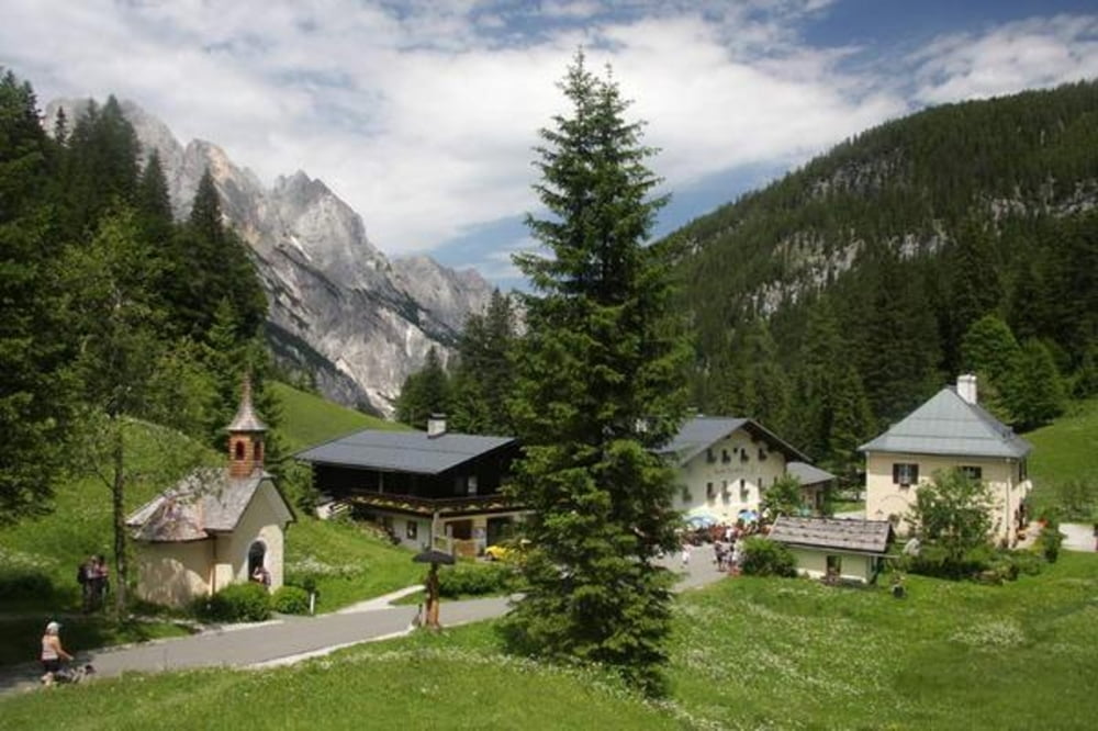
Einkehr am Hirschbichl oder Litzlalm oder aber auch am Hintersee

Galerie du tour

Carte du tour et altitude

  • Open Street Map
  • Google
Minimum height 580 m Maximum height 1313 m Vue de détail

More about the tour author

thomas_504
Member since 2009

Send private message

Commentaires

AVDS on 01.05.2012

Tour im April 2012

Ich habe die Tour am 29. April 2012 gefahren. Super Natur und Weitblicke. Ab Hirchbichl Alm war ich alleine unterwegs. Allerdings war nach Hirchbichl die Abfahrt mit 3 km Schnee bedeckt und nicht befahrbar, hieß also Schneewanderung (hätte es besser wissen müssen). Aber ansonsten sehr empfehlenswert die Tour und hat mir viel Spaß gemacht. Allen eine gute Saison 2012. Grüße von Andreas
franz1962 on 03.08.2014

Tour gefahren

bin gestern die Tour ab Hintersee gefahren. Eine landschaftlich schöne Tour. Schöne satte Anstiege dabei, Litzlalm sollte man vorbeischauen. Fahrzeit ca 5 Std. Wir sind mit GPS gefahren, ohne wird es bischen schwierig alle Wege zu finden. Konditionell sollte man schon gut sein .
Unterjettenberg zwischen Schneitzlreit und Bad Reichenhall

Tracks GPS

Trackpoints
  • GPX / Garmin Map Source (gpx) download
  • TCX / Garmin Training Center® (tcx) download
  • CRS / Garmin Training Center® (crs) download
  • Google Earth (kml) download
  • G7ToWin (g7t) download
  • TTQV (trk) download
  • Overlay (ovl) download
  • Fugawi (txt) download
  • Kompass (DAV) Track (tk) download
  • Feuille de tours (pdf) download
  • Original file of the author (gpx) download

More about the tour author

thomas_504
Member since 2009

Send private message
Share track
Add to my favorites
Remove from my favorites
Edit tags
My score
Rate
Tour: Rund um die Reiteralpe - Hirschbichl - Hintersee
Cat.: Mountainbike
Longueur: 53,3 km
Evaluated on:
Durée:
Day(s)
Hour(s)
Minute(s)
Evaluation: Paysage Aspect amusement Condition Technique