


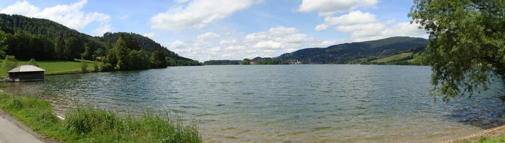
Kurze, kindertaugliche Spritztour von Schliersee aus. Auffahrt nicht steiler als 12% und meist schattig im Wald. Rassante, etwas steilere Abfahrt, die aber immer gut zu fahren ist. Als Abschluss netter Radweg entlang des Schliersee mit Rastmöglichkeit.
Bin die Tour mit meinen Kids (9 & 11) gefahren.
Bin die Tour mit meinen Kids (9 & 11) gefahren.
Galerie du tour
Carte du tour et altitude
Minimum height 781 m
Maximum height 1123 m
More about the tour author

|
marpf |
Commentaires

Die Tour beginnt am Campingplatz "Lido" am Schliersee oder am Parkplatz für Wanderer und Radler in unmittelbarer Nähe.
Tracks GPS
Trackpoints-
GPX / Garmin Map Source (gpx) download
-
TCX / Garmin Training Center® (tcx) download
-
CRS / Garmin Training Center® (crs) download
-
Google Earth (kml) download
-
G7ToWin (g7t) download
-
TTQV (trk) download
-
Overlay (ovl) download
-
Fugawi (txt) download
-
Kompass (DAV) Track (tk) download
-
Feuille de tours (pdf) download
-
Original file of the author (gpx) download
More about the tour author
|
|
marpf |
Add to my favorites
Remove from my favorites
Edit tags
Open track
My score
Rate