


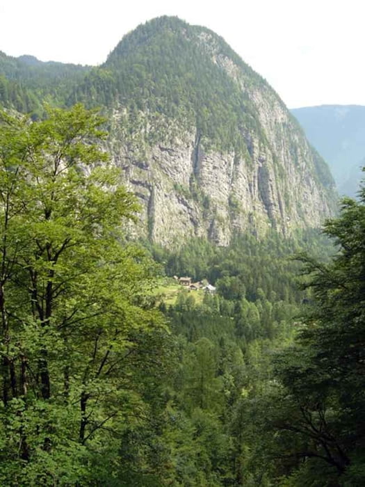
Kräfteraubende Mountainbiketour mit herrlichen Ausblicken auf Hallstatt und den Hallstätter See. Ausgangspunkt ist das Landhotel Agathawirt in St. Agatha. Von dort geht es auf der Strasse vorbei am Gosauzwang zum wunderschönen Hallstatt (UNESCO Weltkulturerbe, ca. 8,5 km). Weiter führt die Strasse durch das Echerntal, vorbei am Gletschergarten (ca. 5 km) und hinauf zur Sattelalm (ca. 12 km von Hallstatt aus, Höhenunterschied ca. 850 m). Am Weg nach oben muss man immer Richtung Salzberg fahren, jedoch beim Salzberg angelangt nicht nach rechts abzweigen, sondern geradeaus weiter auf die Sattelalm. Teilweise ist die Schotterstrasse auf die Sattelalm extrem steil und in manchen Abschnitten auch tief. (schwarze Route!)
Galerie du tour
Carte du tour et altitude
Minimum height 512 m
Maximum height 1361 m
More about the tour author

|
Landhotel Agathawirt |
Commentaires

über Bad Goisern nach St. Agatha, Ausgangspunkt: Landhotel Agathawirt
Tracks GPS
Trackpoints-
GPX / Garmin Map Source (gpx) download
-
TCX / Garmin Training Center® (tcx) download
-
CRS / Garmin Training Center® (crs) download
-
Google Earth (kml) download
-
G7ToWin (g7t) download
-
TTQV (trk) download
-
Overlay (ovl) download
-
Fugawi (txt) download
-
Kompass (DAV) Track (tk) download
-
Feuille de tours (pdf) download
-
Original file of the author (g7t) download
More about the tour author
|
|
Landhotel Agathawirt |
Add to my favorites
Remove from my favorites
Edit tags
Open track
My score
Rate