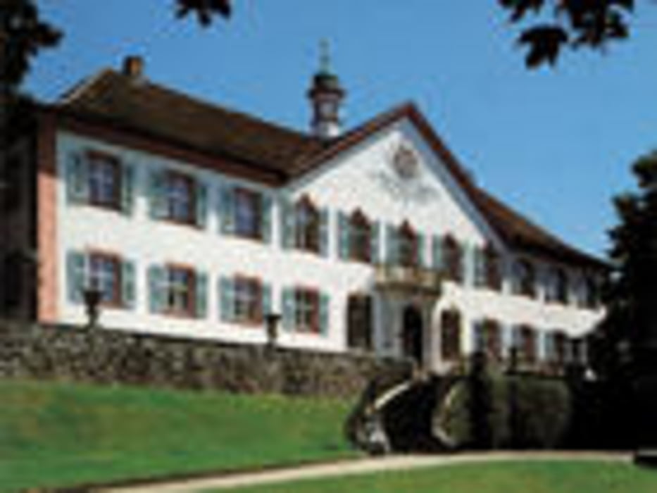
Die Tour beginnt auf dem Aldi-parkplatz in Müllheim, Hauptbestandteil sind Waldwege, 2 Schleppwege und einige nette nicht zu anspruchsvolle Trails. Am Schloss Bürgeln kann man zur Halbzeit einkehren( Wenn man nicht aussieht wie Sau) alles in allem eine schöne Sonntagmittagtour
Carte du tour et altitude
Minimum height 271 m
Maximum height 766 m
Commentaires

Tracks GPS
Trackpoints-
GPX / Garmin Map Source (gpx) download
-
TCX / Garmin Training Center® (tcx) download
-
CRS / Garmin Training Center® (crs) download
-
Google Earth (kml) download
-
G7ToWin (g7t) download
-
TTQV (trk) download
-
Overlay (ovl) download
-
Fugawi (txt) download
-
Kompass (DAV) Track (tk) download
-
Feuille de tours (pdf) download
-
Original file of the author (gpx) download
Add to my favorites
Remove from my favorites
Edit tags
Open track
My score
Rate

