


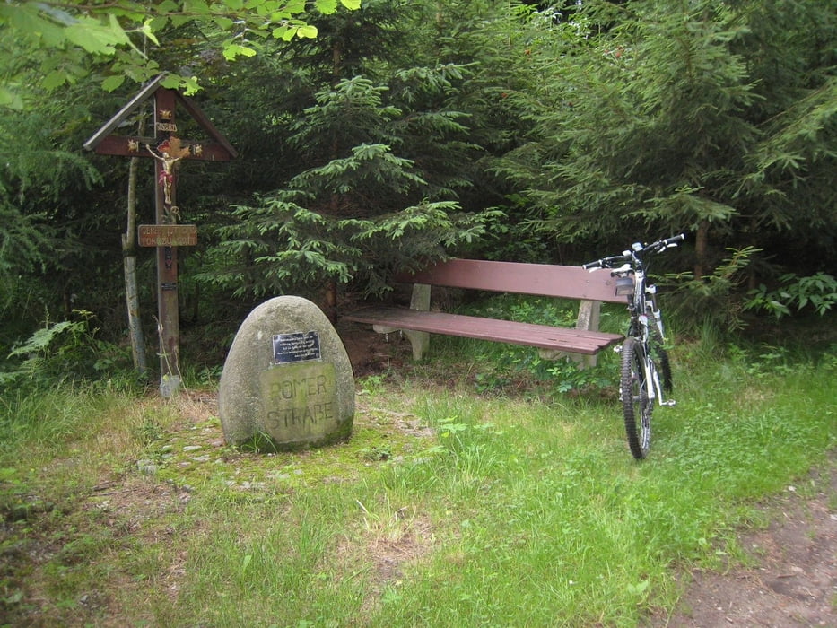
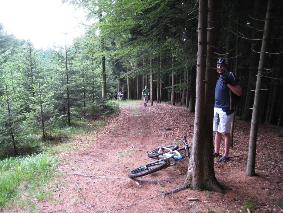
beginnend in Enzenkirchen geht´s vorerst noch auf Asphalt zum roten Kreuz dann der erste Anstieg nach Schwarzenberg, weiter nach Reiting, Antlangkirchen, hier stossen wir auf den Römerweg, hinauf nach Gaisbuchen zum Turnstein von hier ein Wurzeltrail nach Berndorf. weiter zum Jungfraustein weiters machten wir dann einen Einkehrschwung beim Wirt in Thal. zurück dann auf Asphalt nach Dornet Grafendorf zum Baumkronenweg, von hier nach Kopfing und dann ein schöner Downhill nach Mitterndorf, Vorsicht hier eine Holzbrücke (bei Nässe heimtückisch).
Galerie du tour
Carte du tour et altitude
Minimum height 352 m
Maximum height 650 m
More about the tour author
|
|
pipaul |
Commentaires

Tracks GPS
Trackpoints-
GPX / Garmin Map Source (gpx) download
-
TCX / Garmin Training Center® (tcx) download
-
CRS / Garmin Training Center® (crs) download
-
Google Earth (kml) download
-
G7ToWin (g7t) download
-
TTQV (trk) download
-
Overlay (ovl) download
-
Fugawi (txt) download
-
Kompass (DAV) Track (tk) download
-
Feuille de tours (pdf) download
-
Original file of the author (gpx) download
More about the tour author
|
|
pipaul |
Add to my favorites
Remove from my favorites
Edit tags
Open track
My score
Rate