


Eine schöne Wanderung durch mehrere Fluß- und Bachtäler und entlang der Perlenbachtalsperre. Die Landschaft ist sehr abwechslungsreich und man bewegt sich fast nur in der Natur. Ab und zu geht man durch ein paar verschlafene Dörfer. Sehenswert natürlich Monschau.
Der Weg ist nicht anstrengend, aber man sollte schon ganz gut zu Fuß sein und auch gerne die Wanderschuhe schnüren. Wir hatten Glück mit dem Wetter - das hohe Venn leider nicht so, da wir die Wolken vom großen Waldbrand sehen konnten.
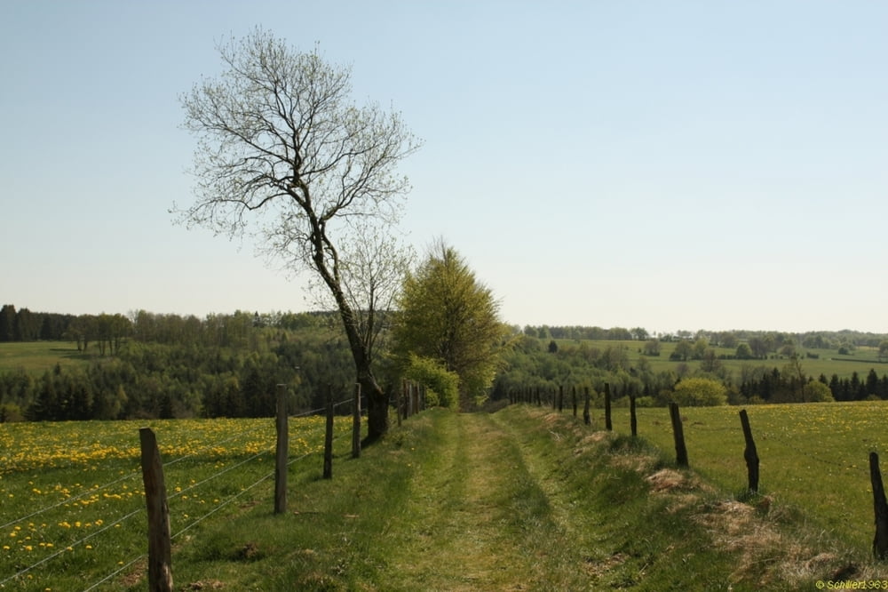
Galerie du tour


Carte du tour et altitude
Minimum height 365 m
Maximum height 570 m
More about the tour author
|
|
Schiller1963 |
Commentaires

Geparkt oberhalb von Monschau.
Tracks GPS
Trackpoints-
GPX / Garmin Map Source (gpx) download
-
TCX / Garmin Training Center® (tcx) download
-
CRS / Garmin Training Center® (crs) download
-
Google Earth (kml) download
-
G7ToWin (g7t) download
-
TTQV (trk) download
-
Overlay (ovl) download
-
Fugawi (txt) download
-
Kompass (DAV) Track (tk) download
-
Feuille de tours (pdf) download
-
Original file of the author (gpx) download
More about the tour author
|
|
Schiller1963 |
Add to my favorites
Remove from my favorites
Edit tags
Open track
My score
Rate