


Den Weg durchs Unterholz im Landrazza Tal kann man sich sparen - fiese Quälerei - mein Handy-GPS ging auch nicht. Vielleicht habe auch ich wieder einen falschen Einstieg gewählt?
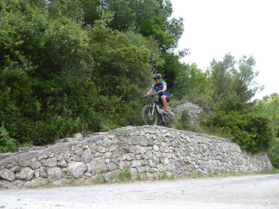
Kurzbeschreibung: Camping Mulino- Straße ins Altopiano delle Manie- Abzweig vor C.Ferrin Richtung Monte Capo Noli - Gepunkteten Trail (gegenüber von XX-Traileinstieg) nach Noli folgen (Schotterweg nicht sonderlich spektakulär) - Noli hat herrliches Zentrum mit einer sehr guten Bäckerei! - Auffahrt über Straße wieder auf die Hochebene. Am Campingplatz den Weg mit den zwei Romben folgen (geht zuerst mit Weg mit Punkt zusammen) und biegt dann links ab. Vorsicht beim Ausstieg!!! Der Trail kommt im rechten Winkel auf eine Straße und hat dort einen mindestens 1 m hohen Absatz: Also an Ende laaaangsam und vorsichtig rechts halten!
Ab Varigiotti Straße zurück nach Finale Pia.
Galerie du tour

Carte du tour et altitude
Minimum height -3 m
Maximum height 342 m
More about the tour author
|
|
CF2008 |
Commentaires

Tracks GPS
Trackpoints-
GPX / Garmin Map Source (gpx) download
-
TCX / Garmin Training Center® (tcx) download
-
CRS / Garmin Training Center® (crs) download
-
Google Earth (kml) download
-
G7ToWin (g7t) download
-
TTQV (trk) download
-
Overlay (ovl) download
-
Fugawi (txt) download
-
Kompass (DAV) Track (tk) download
-
Feuille de tours (pdf) download
-
Original file of the author (gpx) download
More about the tour author
|
|
CF2008 |
Add to my favorites
Remove from my favorites
Edit tags
Open track
My score
Rate