Login

Login oublié ?

Cookies have to be accepted!
Your browser's cookie functionality is disabled. Please enable this functionality.

Not a member yet?

Register now
Login

Available for registred users only

Log in to use this feature.

Login oublié ?

Cookies have to be accepted!
Your browser's cookie functionality is disabled. Please enable this functionality.

Not a member yet?

Register now
Filter
Catégories
Advanced filters
  • Longueur (km)
  • Altimètre
Enregistrer le filtre Reset filter

TrackRank

QRCode

Technical data

Longueur5,9 km Altimètre121 m Way down107 m Durée00:00 h:m Date26.06.2011
Evaluations Author Paysage Aspect amusement Condition Technique

Statistiques

1633 Vues Evaluations 42 Téléchargements Moyenne
Rate
  • Feuille de tours
  • Arrivée
  • Téléchargements
eine schöne gemütliche Runde für die ganze Familie, auch fahrradgeeignet

Further information at

http://de.wikipedia.org/wiki/Pumpspeicherwerk_Markersbach

Galerie du tour

Carte du tour et altitude

  • Open Street Map
  • Google
Minimum height 562 m Maximum height 617 m Vue de détail

More about the tour author

Geofreund
Member since 2009

Send private message

Commentaires

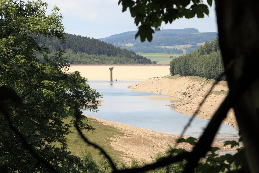
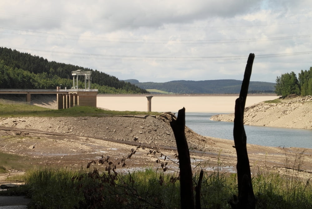
über die B101, parkt am besten gleich an der Staumauer bei 50° 31.500'N 12° 52.533'E

Tracks GPS

Trackpoints
  • GPX / Garmin Map Source (gpx) download
  • TCX / Garmin Training Center® (tcx) download
  • CRS / Garmin Training Center® (crs) download
  • Google Earth (kml) download
  • G7ToWin (g7t) download
  • TTQV (trk) download
  • Overlay (ovl) download
  • Fugawi (txt) download
  • Kompass (DAV) Track (tk) download
  • Feuille de tours (pdf) download
  • Original file of the author (gpx) download

More about the tour author

Geofreund
Member since 2009

Send private message
Share track
Add to my favorites
Remove from my favorites
Edit tags
My score
Rate
Tour: Rundweg - Unterbecken PSW Markersbach
Cat.: Randonnées
Longueur: 5,9 km
Evaluated on:
Durée:
Day(s)
Hour(s)
Minute(s)
Evaluation: Paysage Aspect amusement Condition Technique