


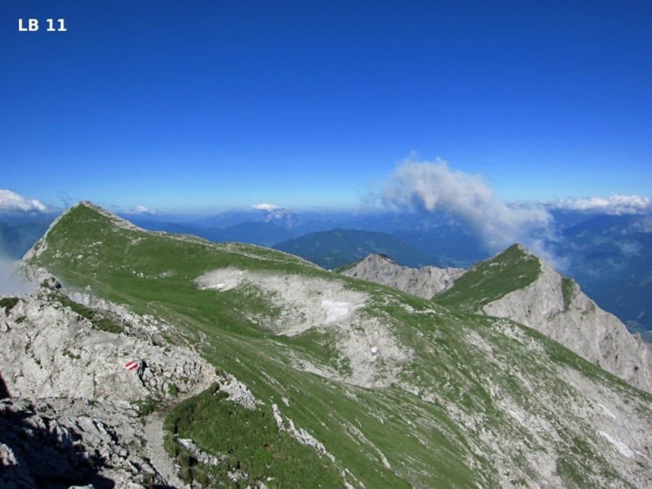
Die anspruchsvolle Bergwanderung auf den 2.196m hohen Kalbling und Sparafeld 2.247m beginnt bei der Oberst Klinke Hütte auf 1.486m. Die sehr schöne und erlebnisreiche Halbtagestour für erfahrene Bergwanderer bietet wunderbare Aussichtspunkte. Hohe Trittsicherheit, feste Bergschuhe und genügend Proviant sind Voraussetzung für einen schönen Tag in der Nähe des Nationalpark Gesäuse.
weitere Infos, Fotos findest du auf biketours4you.at
Galerie du tour

Carte du tour et altitude
Minimum height 1480 m
Maximum height 2251 m
More about the tour author
|
|
Trek1400d |
Commentaires

Für die Anfahrt verlassen wir die Autobahn A9 bei der Abfahrt in Trieben. Dann fahren wir durch Dietmannsdorf in Richtung Admont. Nach ca. 7 km auf der Passhöhe der Kaiserau nach rechts abbiegen und 2 km später gibt es beim kleinen Skigebiet einen großen Parkplatz. Von Norden erreichen wir die Kaiserau von Admont aus auch auf der Landesstraße L713.
Tracks GPS
Trackpoints-
GPX / Garmin Map Source (gpx) download
-
TCX / Garmin Training Center® (tcx) download
-
CRS / Garmin Training Center® (crs) download
-
Google Earth (kml) download
-
G7ToWin (g7t) download
-
TTQV (trk) download
-
Overlay (ovl) download
-
Fugawi (txt) download
-
Kompass (DAV) Track (tk) download
-
Feuille de tours (pdf) download
-
Original file of the author (gpx) download
More about the tour author
|
|
Trek1400d |
Add to my favorites
Remove from my favorites
Edit tags
Open track
My score
Rate