


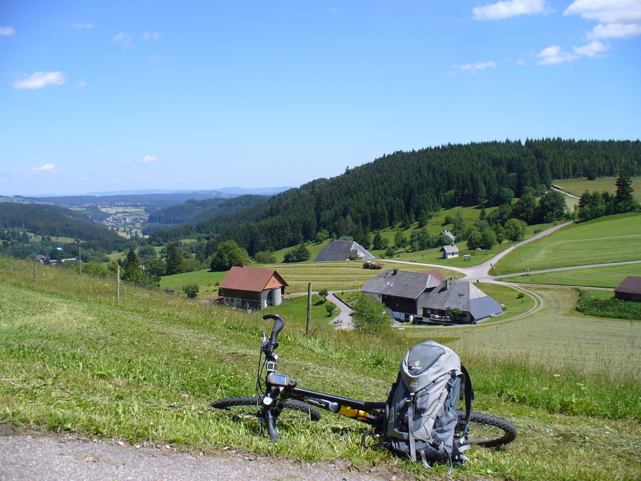
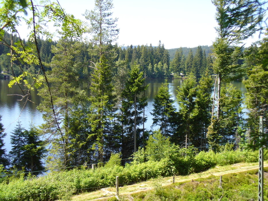
Wir starten in Saig Richtung Falkau. Dort machen wir noch einen Abstecher über die Raitenbucherhöh, (tolle Fernsicht) am Windgfällweiher vorbei, weiter zum Schluchsee.
Die Umrundung beginnt in Aha über Schluchsee Ort nach Seebruck dort über die Staumauer. Von dort zürück an der Kaiserbucht vorbei wieder nach Aha. Auf dieser Strecke gibt es schöne Bademöglichkeiten direkt am See.
Zurück wieder vobei am Windgfällweiher nach Altglashütten. Hier steig´s dann nochmals an über das Schuppenhörnle nach Saig.
Further information at
http://www.haus-loni.deGalerie du tour

Carte du tour et altitude
Minimum height 919 m
Maximum height 1070 m
More about the tour author
|
|
Arni51 |
Commentaires

Parkmöglichkeit im Orstskern von Saig beim Minigolfplatz.
Tracks GPS
Trackpoints-
GPX / Garmin Map Source (gpx) download
-
TCX / Garmin Training Center® (tcx) download
-
CRS / Garmin Training Center® (crs) download
-
Google Earth (kml) download
-
G7ToWin (g7t) download
-
TTQV (trk) download
-
Overlay (ovl) download
-
Fugawi (txt) download
-
Kompass (DAV) Track (tk) download
-
Feuille de tours (pdf) download
-
Original file of the author (gpx) download
More about the tour author
|
|
Arni51 |
Add to my favorites
Remove from my favorites
Edit tags
Open track
My score
Rate