


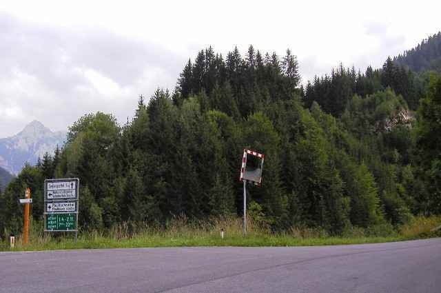
Eine landschaftlich wunderschöne Route, die von Klagenfurt zur Drau und durch die Karawanken nach Slowenien führt, danach an den Südhängen der Karawanken entlang und über den Loiblpass zurück nach Klagenfurt.
Galerie du tour
Carte du tour et altitude
Minimum height 411 m
Maximum height 1219 m
More about the tour author
|
|
Roland Leschanz |
Commentaires

Mit dem Zug: Klagenfurt Hauptbahnhof, von dort in Richtung Südpark - Ebenthal bis zum Sattnitzradweg.
Mit dem Auto: Entweder im Zentrum parken oder Autobahnabfahrt Klagenfurt Wörthersee und am Parkplatz Minimundus parken. Von dort am Radweg stadteinwärts entlang dem Lendkanal.
Mit dem Auto: Entweder im Zentrum parken oder Autobahnabfahrt Klagenfurt Wörthersee und am Parkplatz Minimundus parken. Von dort am Radweg stadteinwärts entlang dem Lendkanal.
Tracks GPS
Trackpoints-
GPX / Garmin Map Source (gpx) download
-
TCX / Garmin Training Center® (tcx) download
-
CRS / Garmin Training Center® (crs) download
-
Google Earth (kml) download
-
G7ToWin (g7t) download
-
TTQV (trk) download
-
Overlay (ovl) download
-
Fugawi (txt) download
-
Kompass (DAV) Track (tk) download
-
Feuille de tours (pdf) download
-
Original file of the author (g7t) download
More about the tour author
|
|
Roland Leschanz |
Add to my favorites
Remove from my favorites
Edit tags
Open track
My score
Rate