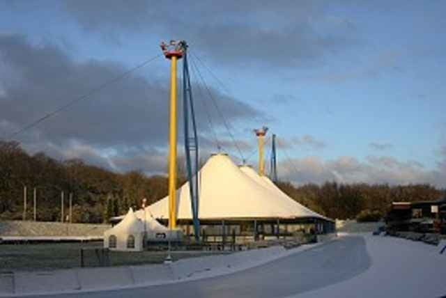
Von Grefrath aus am Eiststation vorbei Richtung Vinkrath am Ende der Strasse links bis zum Heiligen Haus dort links abbiegen bis zur Wackertapper Mühle anschliessend links danach die erste Strasse rechts Richtung Campingplatz, vor dem Campingplatz rechts bis Grefrath.
Carte du tour et altitude
Minimum height 30 m
Maximum height 69 m
Commentaires

47929 Grefrath
Pappelstrasse
Stadionstrasse von Ortsmitte
Richtung Eissport Center
Pappelstrasse
Stadionstrasse von Ortsmitte
Richtung Eissport Center
Tracks GPS
Trackpoints-
GPX / Garmin Map Source (gpx) download
-
TCX / Garmin Training Center® (tcx) download
-
CRS / Garmin Training Center® (crs) download
-
Google Earth (kml) download
-
G7ToWin (g7t) download
-
TTQV (trk) download
-
Overlay (ovl) download
-
Fugawi (txt) download
-
Kompass (DAV) Track (tk) download
-
Feuille de tours (pdf) download
Add to my favorites
Remove from my favorites
Edit tags
Open track
My score
Rate


