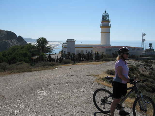
Zu Beginn der Tour geht es ostwärts Richtung Motril. Sehr schnell gelangt man über kleine Nebenstraßen auf die alten Bewässerungskanäle. Diesen folgen wir bis zum Leuchtturm Cabo Sacratif. Vom Leuchtturm geht es dann an die Promenade von Torre Nueva und anschließend über Feldwege zurück zu Robinson Club Playa Granada.
Galerie du tour
Carte du tour et altitude
Minimum height 5 m
Maximum height 820 m
Commentaires
Tracks GPS
Trackpoints-
GPX / Garmin Map Source (gpx) download
-
TCX / Garmin Training Center® (tcx) download
-
CRS / Garmin Training Center® (crs) download
-
Google Earth (kml) download
-
G7ToWin (g7t) download
-
TTQV (trk) download
-
Overlay (ovl) download
-
Fugawi (txt) download
-
Kompass (DAV) Track (tk) download
-
Feuille de tours (pdf) download
-
Original file of the author (gpx) download
Add to my favorites
Remove from my favorites
Edit tags
Open track
My score
Rate


Mein Startpunkt lag weiter westlich auf dem Campingplatz Don Cactus in Carchuna. Eine separate Tourenbeschreibung folgt.