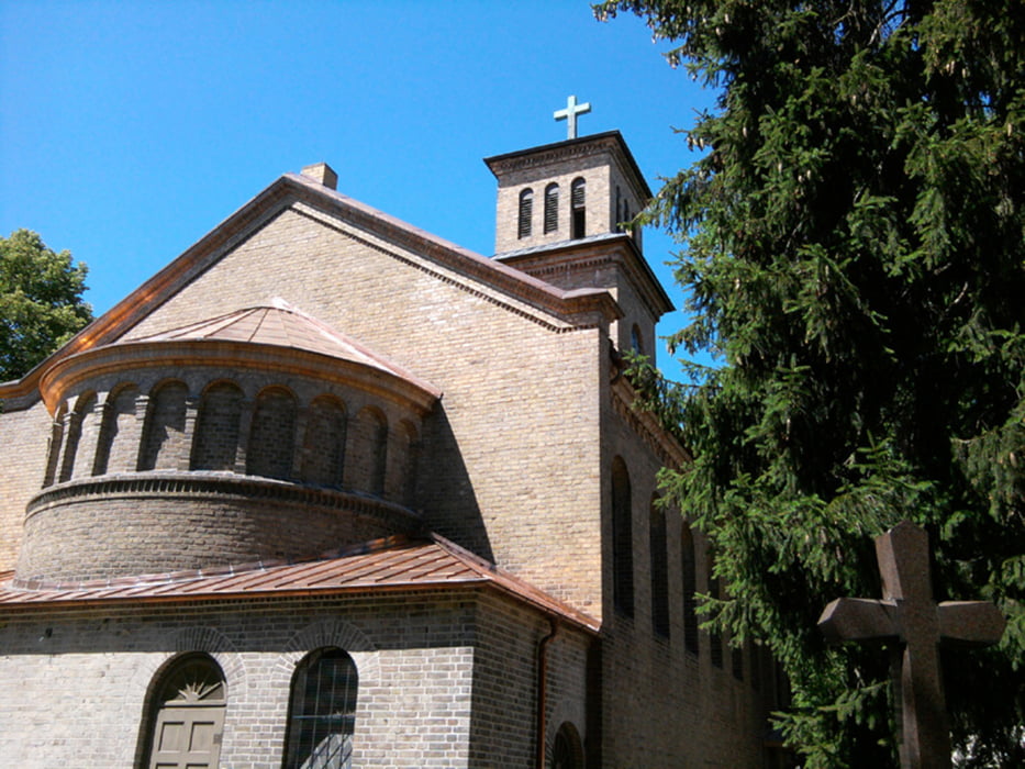
Die Strecke führt zum großen Teil entlang der ehemaligen Berliner Mauer. Wir haben uns in Hohen Neuendorf getroffen, sind über Frohnau, Hennigsdorf, Nieder Neuendorf und Hakenfelde zur Anlegestelle nach Tegelort gefahren. Nach einer kleinen Stärkung ging's weiter Richtung Schönwalde, Eiskeller und Spandau. Dort an Spektesee und Spektewiesen entlang zum Bahnhof Spandau.
Es gibt viel Wald und viel Wasser (Havel, Nieder Neuendorfer See).
Die Strecke ist komplett asphaltiert, nur zwei kleinere Abschnitte liegen direkt an einer Straße.
Galerie du tour
Carte du tour et altitude
Commentaires

S-Bahn Hohen Neuendorf bzw. S-Bahn Frohnau
zurück ab S-Bahnhof Spandau
Tracks GPS
Trackpoints-
GPX / Garmin Map Source (gpx) download
-
TCX / Garmin Training Center® (tcx) download
-
CRS / Garmin Training Center® (crs) download
-
Google Earth (kml) download
-
G7ToWin (g7t) download
-
TTQV (trk) download
-
Overlay (ovl) download
-
Fugawi (txt) download
-
Kompass (DAV) Track (tk) download
-
Feuille de tours (pdf) download
-
Original file of the author (gpx) download


