


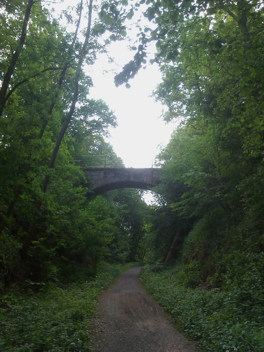
Die Tour folgt zunächst dem Saaleradweg bis nach Beutnitz. Hier biegen wir am Gasthaus von Naura nach links auf den Feldweg zum Tautenburger Forst ab. Ein stetiger Anstieg bringt uns auf die Höhe. Der Weg führt an der Thüringer Landessternwarte vorbei und wandelt sich bald zu einer Kirschallee, die besonders im Frühsommer zum Naschen einlädt. Weiter geht es an Hohendorf vorbei nach Bürgel und druchs Gleistal zurück an den Saaleradweg.
Galerie du tour

Carte du tour et altitude
Minimum height 149 m
Maximum height 375 m
More about the tour author
|
|
aussie1248 |
Commentaires

Start und Ziel liegen im Zentrum Jenas, wo Parkplätze selten und teuer sind. Wer günstig parken will, sollte am Griesparkplatz beginnen und enden. Dort gibt es jede Menge Platz umsonst. Die Route ist von dort aus über eine der Brücken bequem erreichbar.
Navi:
07743 Jena, Am Gries
Tracks GPS
Trackpoints-
GPX / Garmin Map Source (gpx) download
-
TCX / Garmin Training Center® (tcx) download
-
CRS / Garmin Training Center® (crs) download
-
Google Earth (kml) download
-
G7ToWin (g7t) download
-
TTQV (trk) download
-
Overlay (ovl) download
-
Fugawi (txt) download
-
Kompass (DAV) Track (tk) download
-
Feuille de tours (pdf) download
-
Original file of the author (gpx) download
More about the tour author
|
|
aussie1248 |
Add to my favorites
Remove from my favorites
Edit tags
Open track
My score
Rate