Login

Login oublié ?

Cookies have to be accepted!
Your browser's cookie functionality is disabled. Please enable this functionality.

Not a member yet?

Register now
Login

Available for registred users only

Log in to use this feature.

Login oublié ?

Cookies have to be accepted!
Your browser's cookie functionality is disabled. Please enable this functionality.

Not a member yet?

Register now
Filter
Catégories
Advanced filters
  • Longueur (km)
  • Altimètre
Enregistrer le filtre Reset filter

TrackRank

QRCode

Technical data

Longueur66,6 km Altimètre1817 m Way down1810 m Durée06:40 h:m Date10.07.2011
Evaluations Author Paysage Aspect amusement Condition Technique

Statistiques

1160 Vues Evaluations 221 Téléchargements Moyenne
Rate
  • Feuille de tours
  • Arrivée
  • Téléchargements

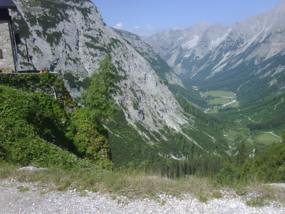
 Klassische Karwendelrunde

Startpunkt Scharmitz und Aufstieg zum Karwendelhaus. Über Hinterriss und Vereinalpe mit knackigen Aufstiegen auf der Sonnenseite und Abfahrt nach Mittenwald. Rückfahrt nach Scharmitz auf dem Isarradweg.

Galerie du tour

Carte du tour et altitude

  • Open Street Map
  • Google
Minimum height 905 m Maximum height 1805 m Vue de détail

More about the tour author

JacMar
Member since 2010

Send private message

Commentaires

Tracks GPS

Trackpoints
  • GPX / Garmin Map Source (gpx) download
  • TCX / Garmin Training Center® (tcx) download
  • CRS / Garmin Training Center® (crs) download
  • Google Earth (kml) download
  • G7ToWin (g7t) download
  • TTQV (trk) download
  • Overlay (ovl) download
  • Fugawi (txt) download
  • Kompass (DAV) Track (tk) download
  • Feuille de tours (pdf) download
  • Original file of the author (gpx) download

More about the tour author

JacMar
Member since 2010

Send private message
Share track
Add to my favorites
Remove from my favorites
Edit tags
My score
Rate
Tour: Karwendelrunde
Cat.: Mountainbike
Longueur: 66,6 km
Evaluated on:
Durée:
Day(s)
Hour(s)
Minute(s)
Evaluation: Paysage Aspect amusement Condition Technique