


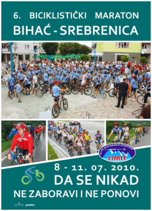
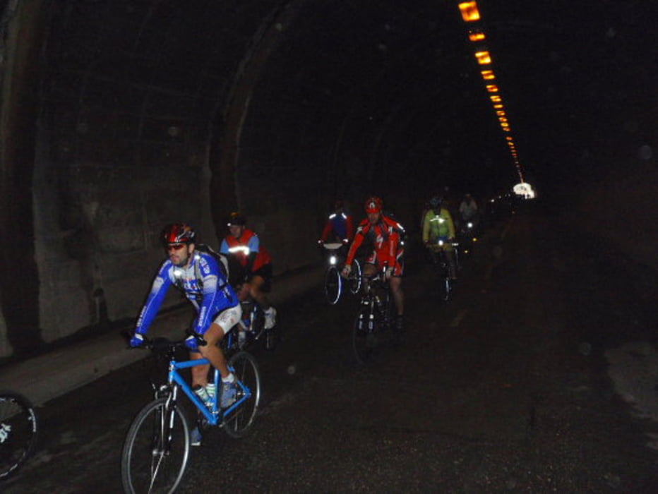
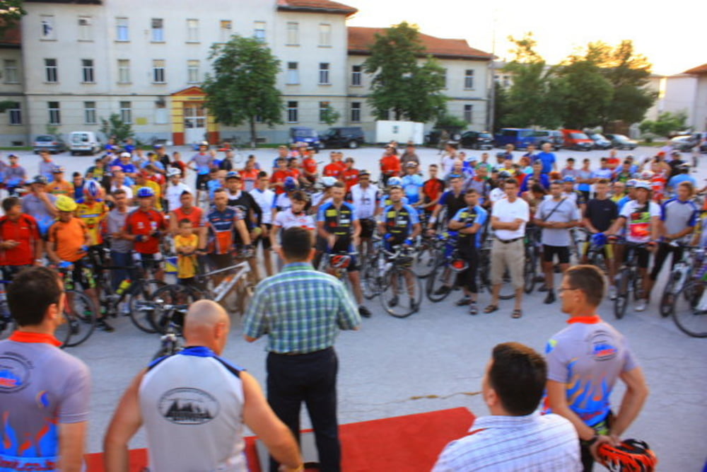
Ein Fahrradmarathon "ohne sportliche Wertung" sondern ein Marathon der nur zur Andenken an die Opfer von Srebrenica Genocide 11.07.1995. 8372...unschuldige Männer, Jungs, Kinder die durch Serbische Armee kaltblütig begangen wurde! Gestartet wird wie jedes Jahr am 08.07 in Bihac über Kljuc, Jajce, Travnik, Sarajevo und endet anschließend in Srebrenica, Potocari Memorial Center. Marathon dauert 3 tage und wird nur auf der Strasse gefahren ca. 480km. Bis heute Marathon wurde 7x errichtet. Einmalig können sie durch ganz Bosnien und Herzegowina durchfahren. Das ganze wird durch KES Limit www.limit.co.ba und sehr starke unterstützung von RBK Japod Mitgliedern www.rbk-japod.org organisiert, daher auch eine Anmeldung notwändig.
Galerie du tour
Carte du tour et altitude
Minimum height 235 m
Maximum height 860 m
More about the tour author

|
makiato |
Commentaires

Stadt Bihac befindet sich in Nordwesten Bosniens (Unsko Sanski Kanton) in der Nähe von National Park Plitvice See und National Park Una und ist leicht mit allen Verkehrsmitteln zu erreichen
Tracks GPS
Trackpoints-
GPX / Garmin Map Source (gpx) download
-
TCX / Garmin Training Center® (tcx) download
-
CRS / Garmin Training Center® (crs) download
-
Google Earth (kml) download
-
G7ToWin (g7t) download
-
TTQV (trk) download
-
Overlay (ovl) download
-
Fugawi (txt) download
-
Kompass (DAV) Track (tk) download
-
Feuille de tours (pdf) download
-
Original file of the author (gpx) download
More about the tour author
|
|
makiato |
Add to my favorites
Remove from my favorites
Edit tags
Open track
My score
Rate