Login

Login oublié ?

Cookies have to be accepted!
Your browser's cookie functionality is disabled. Please enable this functionality.

Not a member yet?

Register now
Login

Available for registred users only

Log in to use this feature.

Login oublié ?

Cookies have to be accepted!
Your browser's cookie functionality is disabled. Please enable this functionality.

Not a member yet?

Register now
Filter
Catégories
Advanced filters
  • Longueur (km)
  • Altimètre
Enregistrer le filtre Reset filter

TrackRank

QRCode

Technical data

Longueur35,3 km Altimètre924 m Way down914 m Durée03:00 h:m Date12.07.2011
Evaluations Author User Paysage Aspect amusement Condition Technique

Statistiques

2056 Vues 2 Evaluations 327 Téléchargements 5.00 Moyenne
Rate
  • Feuille de tours
  • Arrivée
  • Téléchargements

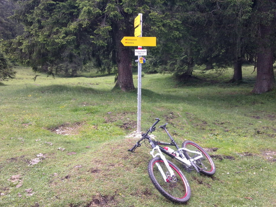
Schöne Tour über die Köglalm und das Satteltal mit Highspeed Schotterabfahrt nach Steinberg am Rofan. Ab dann gemütlich auf Forstwegen wieder zurück nach Achenkirch.

Super Singletrail (Karrenweg) vom Kögljoch.
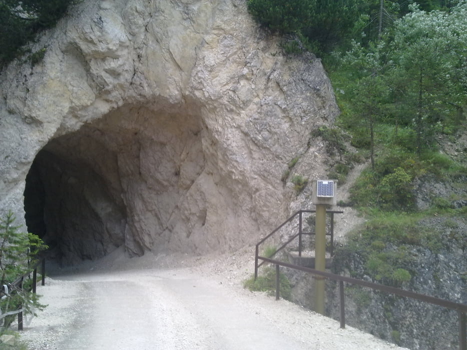
Galerie du tour

Carte du tour et altitude

  • Open Street Map
  • Google
Minimum height 892 m Maximum height 1465 m Vue de détail

More about the tour author

solarphoenix
Member since 2008

Send private message

Commentaires

Rosenheimer on 04.10.2014

Unnutz Umrundung

Habe heute die Tour schon lange vor und heute endlich mal gefahren. Besten Dank fürs reinstellen. Super Landschaften besonders durch das Satteltal - macht Laune auf mehr. Kenne mich mittlerweile besser mit der GPS-Software aus und habe mir schon eine neue Runde in der Gegend gebastelt. Komme gerne wieder in diese Gegend ;-)

Start ist direkt in Achenkirch am Parkplatz bei der Abzweigung zur Christlum.

Gegenüber ist ein kleiner Supermarkt.

Tracks GPS

Trackpoints
  • GPX / Garmin Map Source (gpx) download
  • TCX / Garmin Training Center® (tcx) download
  • CRS / Garmin Training Center® (crs) download
  • Google Earth (kml) download
  • G7ToWin (g7t) download
  • TTQV (trk) download
  • Overlay (ovl) download
  • Fugawi (txt) download
  • Kompass (DAV) Track (tk) download
  • Feuille de tours (pdf) download
  • Original file of the author (gpx) download

More about the tour author

solarphoenix
Member since 2008

Send private message
Share track
Add to my favorites
Remove from my favorites
Edit tags
My score
Rate
Tour: Unnütz Umrundung
Cat.: Mountainbike
Longueur: 35,3 km
Evaluated on:
Durée:
Day(s)
Hour(s)
Minute(s)
Evaluation: Paysage Aspect amusement Condition Technique