


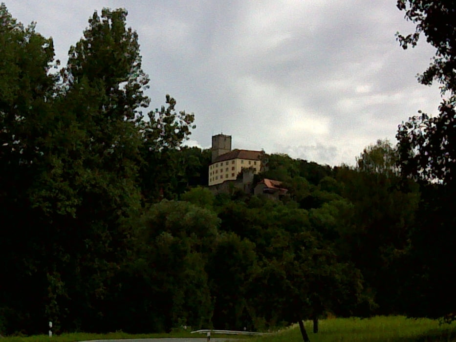
Von Heilbronn-Biberach auf Radweg nach Bad Wimpfen, über die Neckar- und bald die Jagstbrücke zum Radweg im Jagsttal. Vorbei an Untergriesheim schnuppern wir in Höchstberg bald die Höhenluft. Ab Allfeld verfolgen wir auf der Landstraße das Schefflenztal bis Großeicholzheim in nördlicher Richtung. Dann gehts nach Westen weiter über Limbach, Strümpfelbrunn und Waldkatzenbach hoch zum Katzenbuckel, wo das Cafe leckere Kuchen bereit hält. Wieder hinunter, im Ort rechts halten und über Schollbrunn ins Neckartal. Auf dem Neckarradweg zurück zum Ausgangspunkt.
Further information at
http://www.naturpark-neckartal-odenwald.de/Galerie du tour


Carte du tour et altitude
Minimum height 139 m
Maximum height 558 m
More about the tour author
|
|
rockydoc |
Commentaires

Gute Startmöglichkeit in Bad Wimpfen im Neckartal.
Tracks GPS
Trackpoints-
GPX / Garmin Map Source (gpx) download
-
TCX / Garmin Training Center® (tcx) download
-
CRS / Garmin Training Center® (crs) download
-
Google Earth (kml) download
-
G7ToWin (g7t) download
-
TTQV (trk) download
-
Overlay (ovl) download
-
Fugawi (txt) download
-
Kompass (DAV) Track (tk) download
-
Feuille de tours (pdf) download
-
Original file of the author (gpx) download
More about the tour author
|
|
rockydoc |
Add to my favorites
Remove from my favorites
Edit tags
Open track
My score
Rate