


Stubaier Höhenweg in 7 Etappen
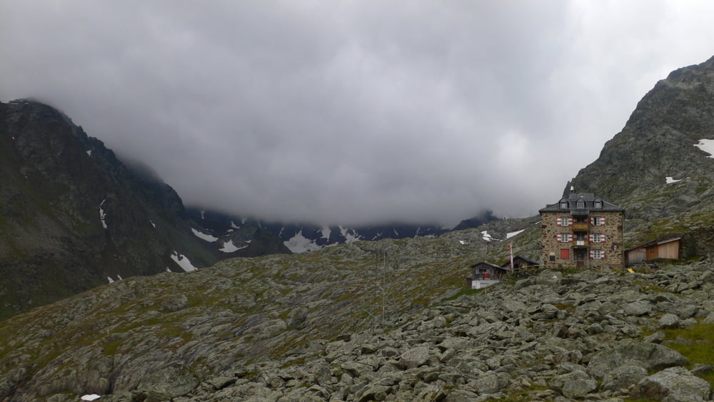
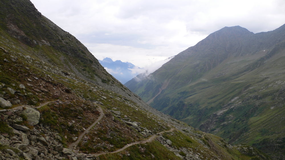
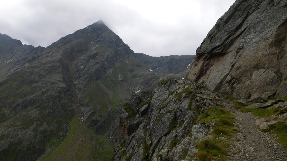
Abstieg von Nürnberger Hütte ins Tal (Ranalt) - (am 06.08.2011)
Regen pur für die nächsten 2 Tage – also entschließe ich mich abzubrechen.
Abstieg nach Ranalt (P) – schmaler Pfad, teils steil und durch den vielen Regen sehr glitschig. Weiter unten Übergang in breiteren Weg, an Buschalm vorbei – Einkehr (unfreundlicher Wirt, schlechte Qualität – nicht empfehlenswert).
Ich habe Glück, treffe beim Abstieg meine Mitfahrgelegenheit bis nach Hause (Augsburg).
2 Etappen fehlen noch – Nachholung bei besserem Wetter.
Further information at
http://www.stubaier-hoehenweg.at/Galerie du tour
Carte du tour et altitude
Minimum height 1381 m
Maximum height 2306 m
More about the tour author
|
|
IrisG |
Commentaires

Tracks GPS
Trackpoints-
GPX / Garmin Map Source (gpx) download
-
TCX / Garmin Training Center® (tcx) download
-
CRS / Garmin Training Center® (crs) download
-
Google Earth (kml) download
-
G7ToWin (g7t) download
-
TTQV (trk) download
-
Overlay (ovl) download
-
Fugawi (txt) download
-
Kompass (DAV) Track (tk) download
-
Feuille de tours (pdf) download
-
Original file of the author (gpx) download
More about the tour author
|
|
IrisG |
Add to my favorites
Remove from my favorites
Edit tags
Open track
My score
Rate