


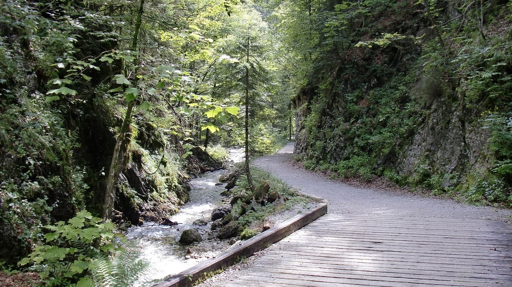
Variante der beliebten Tour "von Ruhpolding zum Weitsee ". Anstatt im Urschlauer Tal direkt links bergauf in's Röthelmoos zu fahren weiter geradeaus Richtung Eschelmoos um nach ein paar mehr Hm's auf besten Forstwegen von oben in's Röthelmoos zu kommen. Immer wieder herrlich die Abfahrt durch das Wippbachtal zum Weitsee ( Achtung Wanderer ).
Vorbei an den (Bade)Seen zurück nach Ruhpolding.
Einkehr: Almen im Röthelmoos, Gaststätten entlang des Chiemgau-Radweges, Ruhpolding
Galerie du tour

Carte du tour et altitude
Minimum height 646 m
Maximum height 1053 m
More about the tour author

|
mfa69 |
Commentaires

Durch Ruhpolding hindurch weiter Richtung Reit im Winkl. Nach wenigen Kilometern links auf dem grossen Parkplatz des Holzknechtmuseums ( Laubau, Fuchswiese ) parken.
Alternativ in Ruhpolding ( Bärengschwendt, Urschlau ) starten.
Tracks GPS
Trackpoints-
GPX / Garmin Map Source (gpx) download
-
TCX / Garmin Training Center® (tcx) download
-
CRS / Garmin Training Center® (crs) download
-
Google Earth (kml) download
-
G7ToWin (g7t) download
-
TTQV (trk) download
-
Overlay (ovl) download
-
Fugawi (txt) download
-
Kompass (DAV) Track (tk) download
-
Feuille de tours (pdf) download
-
Original file of the author (gpx) download
More about the tour author
|
|
mfa69 |
Add to my favorites
Remove from my favorites
Edit tags
Open track
My score
Rate