
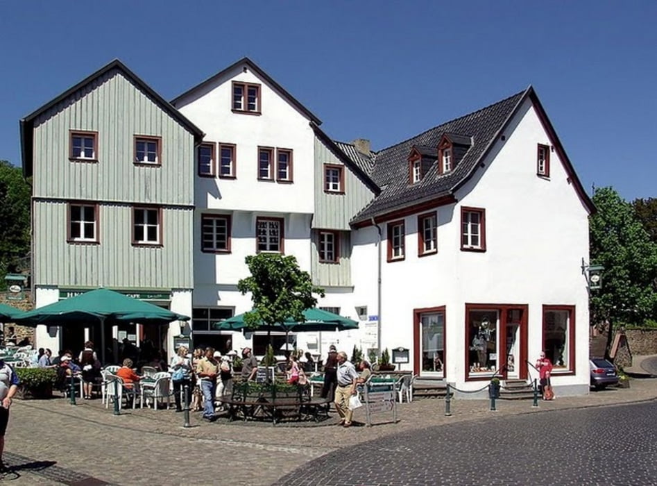

Die Tour wird von uns am WE das erste mal selbst bewandert. Die Bewertung werde ich nachholen. Kurz vor dem Kurhotel, bitte dem Weg nach Rechts folgen, Richtung AXA Akademie, dann seht Ihr aber auch bereits das Kurhaus. Die Beschilderung in die Innenstadt ist gut.
Das Essen auf der der Burg war leider eher durchschnittlich, die Bedienung und die Freundlichkeit waren super.
Carte du tour et altitude
Minimum height 270 m
Maximum height 399 m
More about the tour author

|
oscar2007 |
Commentaires

von Köln, über die A1 Richtung Euskirchen. AS Bad Münstereifel abfahren, dann immer Richtung Bahnhof, PArkplatz suchen und es kann los gehen.
Tracks GPS
Trackpoints-
GPX / Garmin Map Source (gpx) download
-
TCX / Garmin Training Center® (tcx) download
-
CRS / Garmin Training Center® (crs) download
-
Google Earth (kml) download
-
G7ToWin (g7t) download
-
TTQV (trk) download
-
Overlay (ovl) download
-
Fugawi (txt) download
-
Kompass (DAV) Track (tk) download
-
Feuille de tours (pdf) download
-
Original file of the author (gpx) download
More about the tour author
|
|
oscar2007 |
Add to my favorites
Remove from my favorites
Edit tags
Open track
My score
Rate