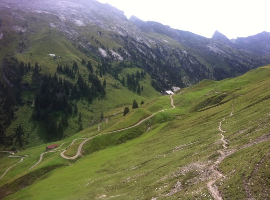
Zunächst Richtung Moutathal, dann rechts hoch, bis nach Stoos (Dorf), Wannen und den Übergang Wannentritt.
Dann Forstweg und Teerstraße hinab, Richtung Sissikon.
Weg der Schweiz wieder hoch, und zurück ins Moutathal.
Viel Forstweg, viel Teer...
Further information at
http://randypanguitch.wordpress.com/?page_id=1369&preview=trueCarte du tour et altitude
Minimum height 443 m
Maximum height 1620 m
Commentaires

Tracks GPS
Trackpoints-
GPX / Garmin Map Source (gpx) download
-
TCX / Garmin Training Center® (tcx) download
-
CRS / Garmin Training Center® (crs) download
-
Google Earth (kml) download
-
G7ToWin (g7t) download
-
TTQV (trk) download
-
Overlay (ovl) download
-
Fugawi (txt) download
-
Kompass (DAV) Track (tk) download
-
Feuille de tours (pdf) download
-
Original file of the author (gpx) download
Add to my favorites
Remove from my favorites
Edit tags
Open track
My score
Rate

