


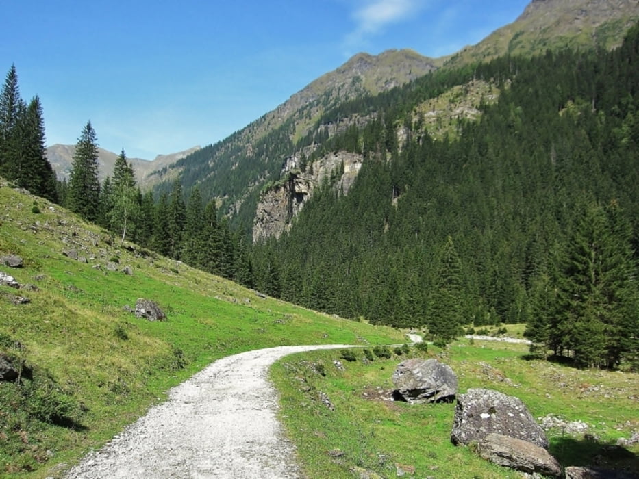
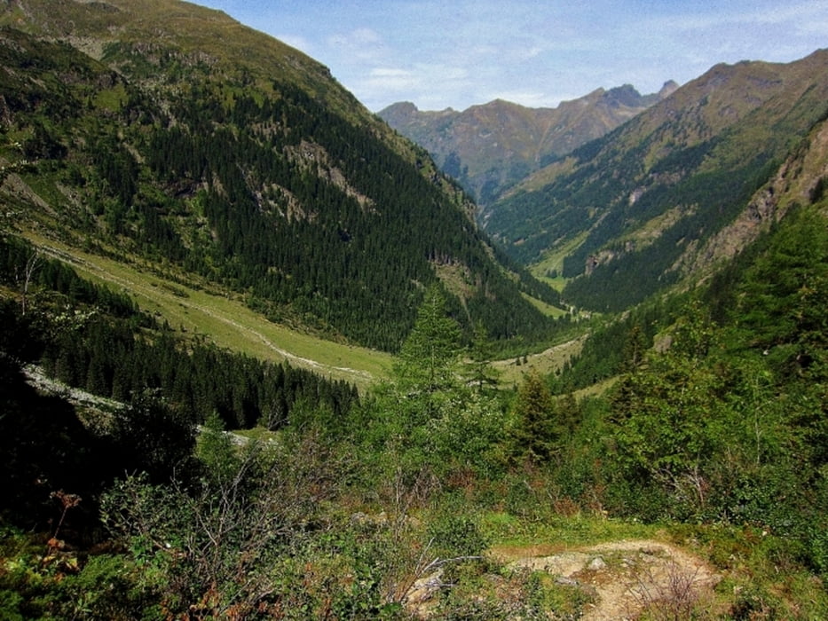
Die Wanderung zur Gollinghütte beginnt mit einer 5 Kilometer langen Schotterstraße durch das Steinriesental. Nur im Bereich der Unteren Steinwenderalm und kurz vor dem Ende der Schotterstraße gibt es Abschnitte mit einer Steigung von ca. 15-20%. Danach beginnt auf 1.470m der 800m lange Wanderweg zur Gollinghütte 1.642m hinauf. Wer sich schon sehr zeitig in der Früh auf den Weg machen möchte, kann durchaus ca. eine Stunde vor der Dämmerung mit Stirnlampe losgehen. Beim Wanderweg auf die Gollinghütte sollte es aber schon so hell sein, dass man den Weg auch ohne Stirnlampe gehen kann.
Mehr Infos und Fotos findest du auf biketours4you.at
Galerie du tour
Carte du tour et altitude
Minimum height 1074 m
Maximum height 1631 m
More about the tour author
|
|
Trek1400d |
Commentaires

Tracks GPS
Trackpoints-
GPX / Garmin Map Source (gpx) download
-
TCX / Garmin Training Center® (tcx) download
-
CRS / Garmin Training Center® (crs) download
-
Google Earth (kml) download
-
G7ToWin (g7t) download
-
TTQV (trk) download
-
Overlay (ovl) download
-
Fugawi (txt) download
-
Kompass (DAV) Track (tk) download
-
Feuille de tours (pdf) download
-
Original file of the author (gpx) download
More about the tour author
|
|
Trek1400d |
Add to my favorites
Remove from my favorites
Edit tags
Open track
My score
Rate