Login

Login oublié ?

Cookies have to be accepted!
Your browser's cookie functionality is disabled. Please enable this functionality.

Not a member yet?

Register now
Login

Available for registred users only

Log in to use this feature.

Login oublié ?

Cookies have to be accepted!
Your browser's cookie functionality is disabled. Please enable this functionality.

Not a member yet?

Register now
Filter
Catégories
Advanced filters
  • Longueur (km)
  • Altimètre
Enregistrer le filtre Reset filter

TrackRank

QRCode

Technical data

Longueur55,5 km Altimètre1416 m Way down1392 m Durée06:20 h:m Date18.08.2011
Evaluations Author Paysage Aspect amusement Condition Technique

Statistiques

138 Vues Evaluations 16 Téléchargements Moyenne
Rate
  • Feuille de tours
  • Arrivée
  • Téléchargements


bazowałem się na trasie "na Praděd se synem 6.7.2008"
inne miejsce startu i tylko w niektórych miejscach zmieniałem trasę.

polecam obie trasy


Galerie du tour

Carte du tour et altitude

  • Open Street Map
  • Google
Minimum height 564 m Maximum height 1478 m Vue de détail

More about the tour author

honkam
Member since 2011

Send private message

Commentaires


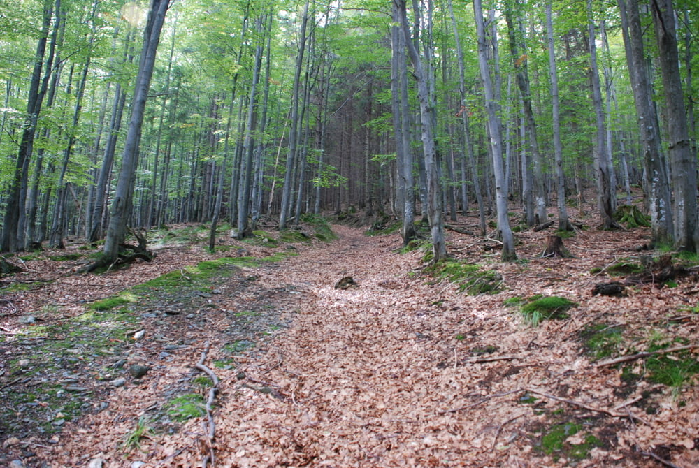
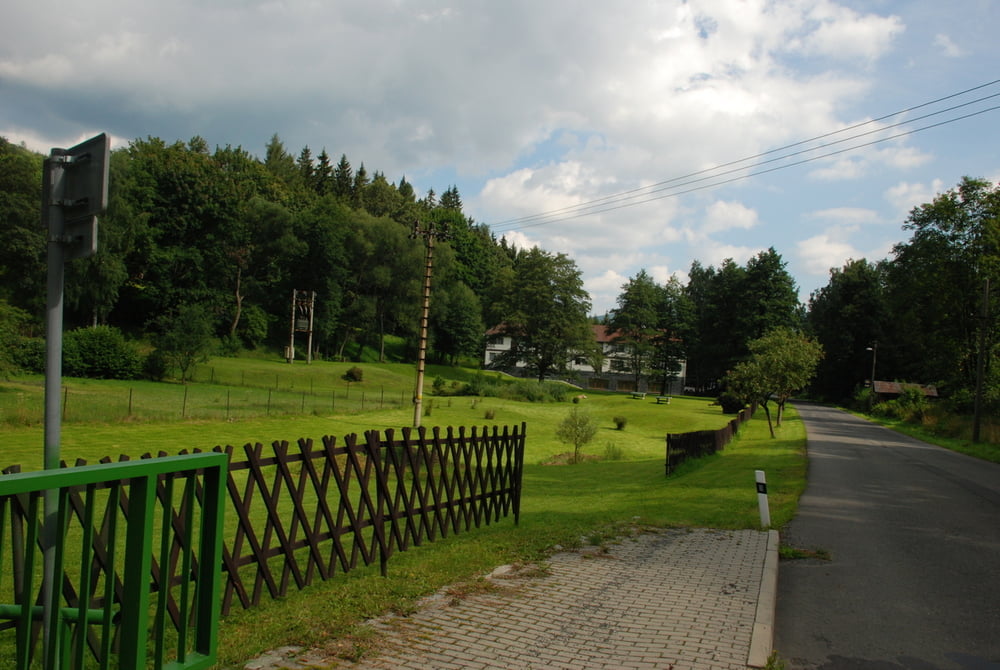
Start w bela pod pradziadem, przy drodze 450


Tracks GPS

Trackpoints
  • GPX / Garmin Map Source (gpx) download
  • TCX / Garmin Training Center® (tcx) download
  • CRS / Garmin Training Center® (crs) download
  • Google Earth (kml) download
  • G7ToWin (g7t) download
  • TTQV (trk) download
  • Overlay (ovl) download
  • Fugawi (txt) download
  • Kompass (DAV) Track (tk) download
  • Feuille de tours (pdf) download
  • Original file of the author (gpx) download

More about the tour author

honkam
Member since 2011

Send private message
Share track
Add to my favorites
Remove from my favorites
Edit tags
My score
Rate
Tour: pod Pradziadem
Cat.: Mountainbike
Longueur: 55,5 km
Evaluated on:
Durée:
Day(s)
Hour(s)
Minute(s)
Evaluation: Paysage Aspect amusement Condition Technique