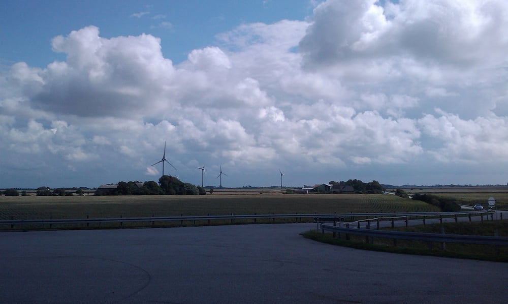
Auf schönen kleinen Straßen durch das landschaftlich schöne Nordfriesland.
Auf die hohen Berge muss auf dieser Tour verzichtet werden, wobei eine für
diese Gegend gigantische Bergwertung mit 30 HM ist doch zu finden :-)
Durch den teils heftigen Wind ist die Tour trotzdem nicht zu unterschätzen.
Wichtig !! unbedingt mit GPS Track fahren, die Route ist sonst nicht zu finden.
viel Spaß mit der Tour.
Carte du tour et altitude
Minimum height -18 m
Maximum height 32 m
Commentaires

Tracks GPS
Trackpoints-
GPX / Garmin Map Source (gpx) download
-
TCX / Garmin Training Center® (tcx) download
-
CRS / Garmin Training Center® (crs) download
-
Google Earth (kml) download
-
G7ToWin (g7t) download
-
TTQV (trk) download
-
Overlay (ovl) download
-
Fugawi (txt) download
-
Kompass (DAV) Track (tk) download
-
Feuille de tours (pdf) download
-
Original file of the author (gpx) download
Add to my favorites
Remove from my favorites
Edit tags
Open track
My score
Rate


